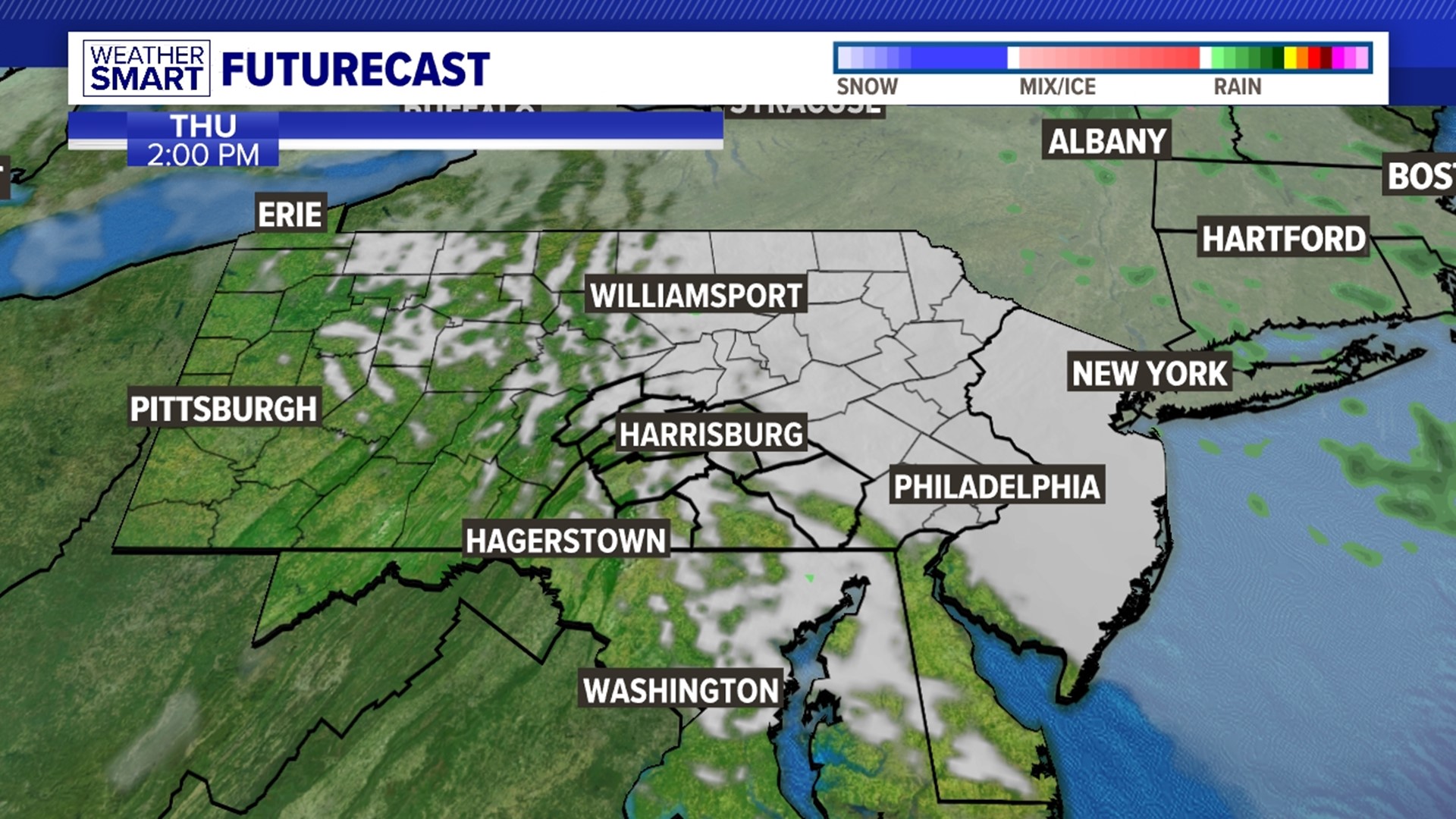

SHOWERS ENDING: Another wave of showers moves in overnight into Monday morning. The highest rain totals when all is said and done will be close to the PA-Maryland line. Showers end by mid-morning for most. Cloud cover should start to break up in the early afternoon, allowing temperatures to jump around 70-degrees. If the cloud cover hangs around another couple of hours, we’ll stay in the 60s.
STARTING THE WEEK: We stay dry Tuesday with morning lows in the low-50s and highs in the mid-70s under partly cloudy skies. Highs jump into the 80s for Wednesday with a very low thunderstorm chance. Skies remain partly-to-mostly cloudy. We keep the dry conditions for Thursday, but in return crank the humidity up by Wednesday and Thursday.


NEXT T-STORM CHANCES: A few thunderstorms are possible with current forecast guidance by Friday afternoons. Highs stay just below 80-degrees. We just might be able to get a dry June weekend for next weekend with mostly sunny skies and highs in the upper-70s Saturday, mid-80s Sunday.
Have a great work week!
-Meteorologist Bradon Long


