


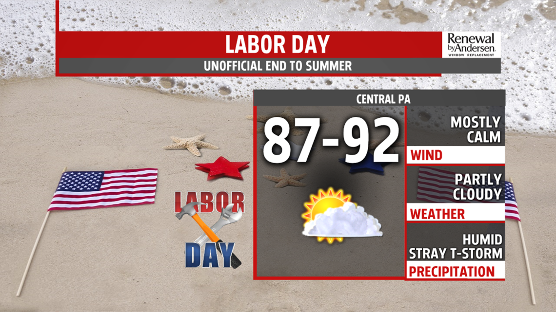
LABOR DAY: We keep the muggy air overnight with temperatures dropping into the low-70s to start the day. Patchy morning fog is possible. High temperatures climb near 90-degrees with partly cloudy skies by the afternoon. Heat index values approach 100-degrees. A stray shower or storm based on pure humidity with heavy downpours can’t be ruled out. It would, however, be short-lived. Most locations stay dry on a muggy, but mostly calm Labor Day.

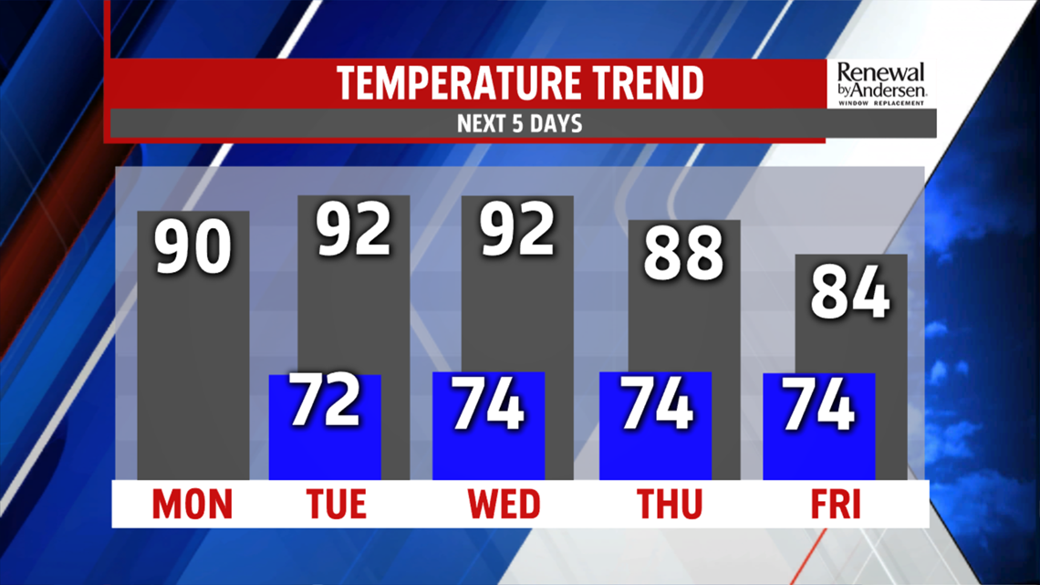
HOT TEMPERATURES CONTINUE: We keep the hot temperatures Tuesday and Wednesday. Muggy mornings in the mid-70s lead to highs in the low-90s by the afternoon under mostly sunny skies. Heat index values range near 100 to as high as 105-degrees possible. Heat related-illness will be a concern, so limit your time outdoors in the afternoon and stay hydrated. Mostly sunny skies dominate with stray thunderstorms possible both days.
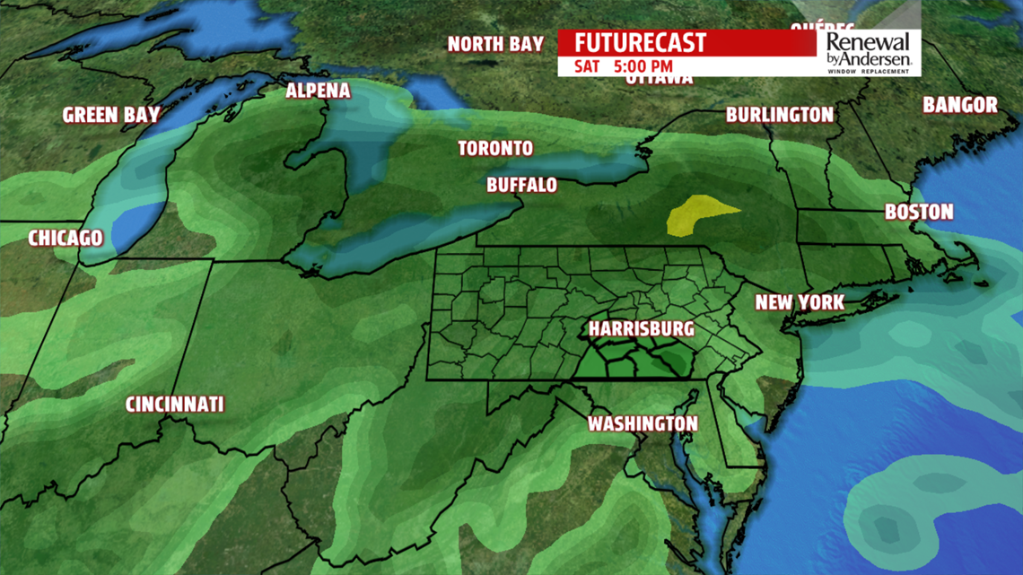
RAIN RETURNS TO FINISH THE WEEK: Rain chances return Thursday and last into the weekend. Highs dip into the 80s as cloud cover increases Thursday afternoon with a few storms likely. Similar setup heads our way Friday, but with more widespread cloud cover. Flooding will be a concern into the weekend with temperatures dropping into the upper-70s and low-80s with widespread showers possible Saturday. This is far out, so a lot could change between now and then. However, we do have good forecast confidence with model consistency at this time. Stay tuned throughout the week with the latest up-to-date forecast so we can keep you “Weather Smart” all week long.
Have a great holiday!
-Meteorologist Bradon Long
