


FINISHING THE WEEK: A few visibility issues out the door this morning once again that you will need to take into account for your morning commute. Temperatures start muggy in the low-70s and won’t go far. Friday temperatures stay in the 70s area-wide by the afternoon with cloud cover remaining as well. We’ll dodge a few more showers than we did on Thursday. Not everyone will see rainfall, but everyone has the same low chance of seeing a shower out your door. The mugginess sticks around as well into the evening.


BETTER WEEKEND: There’s hope for continued sunshine into the weekend! Highs jump back into the upper-70s and low-80s both days with mostly cloudy skies. However, we’ll see breaks of sunshine both days. A stray shower and some drizzle, especially in the morning, will be possible as well with an occasional wind gust to 15MPH. Otherwise, we get some much needed dry time over the weekend as we try to dodge shower chances.
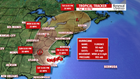

TRACKING FLORENCE: Heading into next week, much to be debated about the track of Hurricane Florence and the potential impacts for Central PA. One thing is certain. If we do get rain, the weekend won’t be enough dry time to prevent river, flash and areal flooding across Central PA. As of 4:30AM, Florence is a Category 1 hurricane along the coast of North and South Carolina. The system is expected to stall over the Carolinas into the weekend, pouring multiple feet of rain in some locations close to the coast. As the storm weakens into a tropical storm, depression and eventually a “run-of-the-mill” low pressure system, the track is starting to come into a little more agreement for next week.
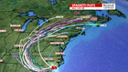
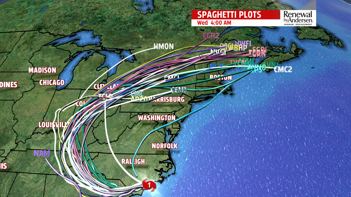
The storm system pushes eventually into the Tennessee and Ohio River valleys. After that, the end of the forecast cone issued by the National Hurricane Center does include Central PA. The overall model consensus at this time brings the center of the system into Western Pennsylvania. However, that track has a large potential to deviate either west or east. The further east, the higher likelihood we see rainfall into early next week. The potential is there for us to see multiple inches of rainfall Monday through Wednesday morning with occasional gusty winds. There is also the potential to see fewer impacts. Stick with us through the weekend so we can keep you “Weather Smart!”
Have a great Friday!
-Meteorologist Bradon Long
