


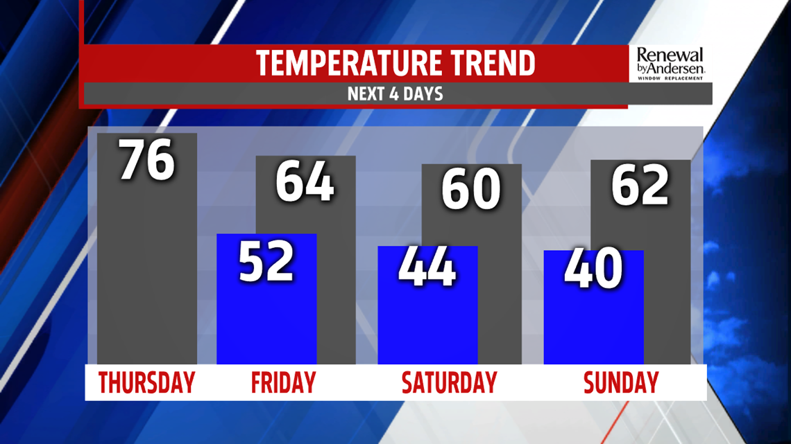
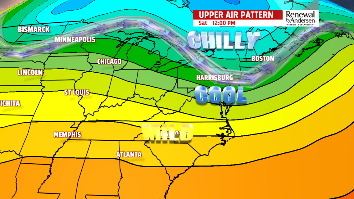
COOLER WEEKEND OUTLOOK: The weekend continues the return to the fall feel that’s been lacking for much of the month! Saturday brings some clouds to start, and perhaps a couple light showers before daybreak. However, a good amount of sunshine works in for the afternoon. Expect cool readings in the upper 50s to near 60 degrees. It’s a chilly and clear start to Sunday, and there could even be some patchy areas of frost in our cool spots to the north and northwest. As the next front approaches, skies go from sunshine to clouds during the afternoon. Expect readings in the upper 50s to lower 60s.
NEXT WEEK: Monday brings the next chance for showers as a cold front approaches. Expect plenty of clouds, with temperatures a bit milder as well. Readings are in the lower to middle 60s. Showers should end through the night on Monday, but there is some indication they could linger into Tuesday. We’ll keep an eye on it, but for now, expect the showers to end before daybreak. It’s cooler and breezy, with temperatures in the middle to upper 50s. Wednesday is partly cloudy. Readings are in the middle to upper 50s again.
Have a great Thursday!
