


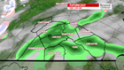

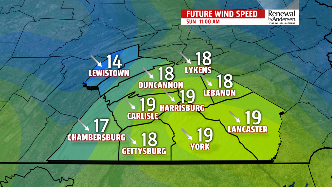
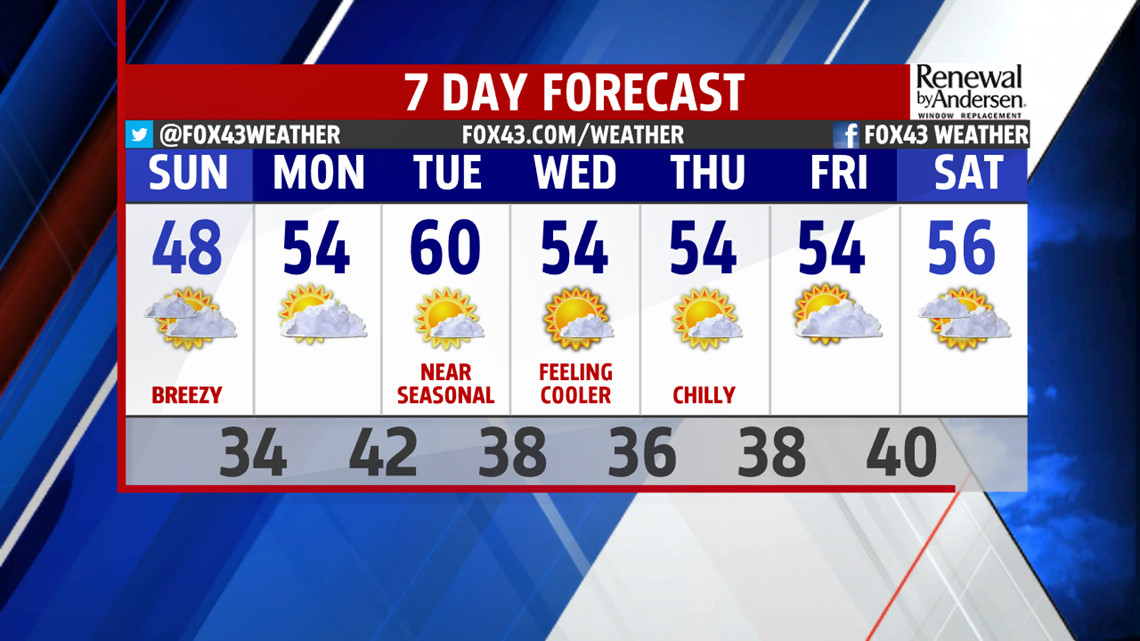
CHILLY AIR MOVES IN: Cooler than normal temperatures are the trend for the rest of the weekend and into much of the week ahead! A cold front will cross the region early Sunday bringing a few showers and increasing winds. Showers should only interrupt in the early morning hours – as skies begin clearing to mostly sunny by the afternoon, although still breezy with winds out of the northwest at 10-15 MPH (with gusts up to 30 MPH). Afternoon high temperature Sunday will only reach the 50 degree mark courtesy strong northwesterly flow.

MAINLY A DRY WEEK: After a damp start Sunday morning, the rest of the week is looking pretty dry, with chilly overnight lows. Some neighborhoods may have scheduled trick-or-treat in the week ahead, and the weather should be perfect for it – though dry, it will be a bit on the chilly side – perhaps consider costumes with a few extra layers as temperatures drop quick after sunset. The warmest day of the week is likely Tuesday with a high in the upper 50s to near 60 degrees. Then another weak front sweeps across the state for midweek – temperatures the rest of the week only get into the mid 50s, but with overnight lows in the mid-to-upper 30s!
Enjoy the rest of the weekend!
– Meteorologist Alan Petko
