


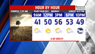

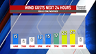


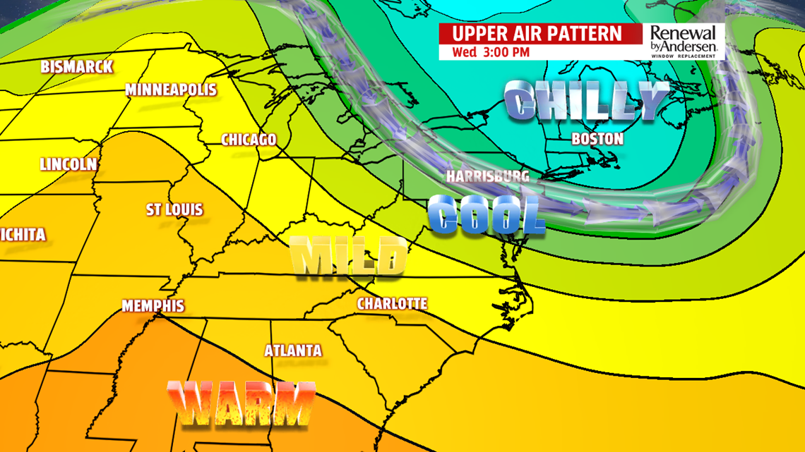
ANOTHER CHILLY BURST OF AIR: It’s back to the chill for the middle to the end of the week. Wednesday is quite the breezy day under partly sunny skies. Expect temperatures in the upper 40s to lower 50s. Thursday is quiet with partly cloudy skies and a lighter wind. Expect temperatures a touch higher, with readings in the lower 50s. Friday doesn’t look much different in terms of temperatures, but clouds are expected to thicken and fast. Readings are in the lower 50s.
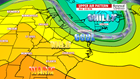
WEEKEND OUTLOOK: The weekend brings the chance for rain as we monitor a coastal system for Saturday. Depending on how close to the coast it tracks, a good soaking is possible in addition to breezy conditions. Sunday is drier and overcast, but still brings the chance for a few showers. It will be chilly through the weekend too, especially if Saturday turns out to be a soaker. Temperatures reach the lower 40s on Saturday, and a touch higher on Sunday. However, they are still quite chilly, with readings in the middle to upper 40s.
Have a great Monday!
