

RAIN ENDS: Showers end as the morning commute marches on. We keep the cloud cover with winds slowly increasing in gust speed throughout the day. Your constant, sustained speeds out of the northwest remain around 10MPH. Highs today hit the mid-40s under mostly cloudy skies. Lake effect flurry activity in our northwest counties will be possible overnight. Snow squall activity, although unlikely, is something we’re watching closely. Keep the FOX43 Weather App handy.
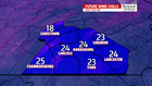

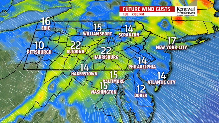
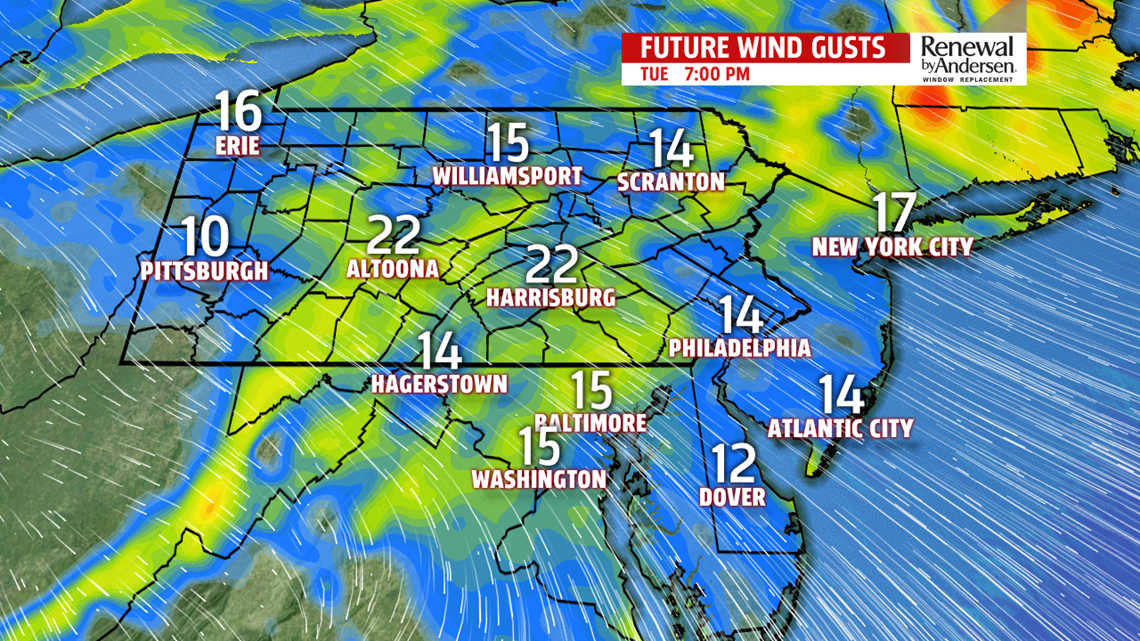
COLD, BREEZY WEDNESDAY: Winds continue to ramp up into Wednesday morning. Gusts to 25MPH for the overnight timeframe into the morning hours will be around 25MPH out of the northwest. Wind chills overnight drop into the 20s and only head into the low-30s by the afternoon. Actual high afternoon temperatures top out near 40-degrees under otherwise partly-to-mostly sunny skies.
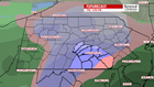
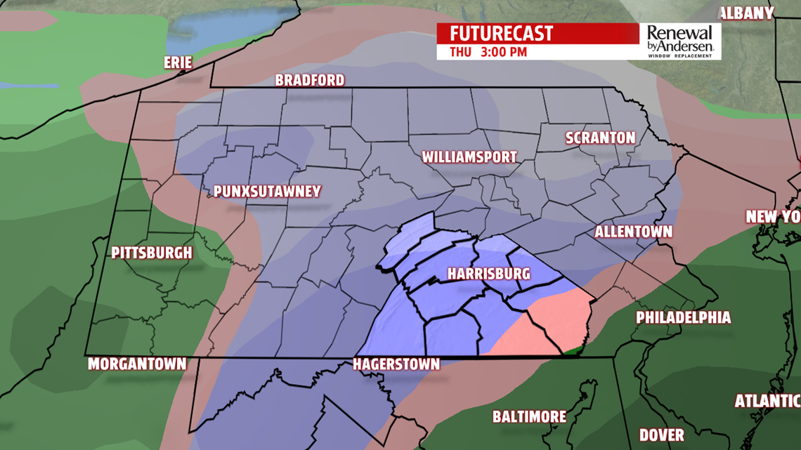
WINTER MIX THURSDAY: We’re watching the chance of a winter mix for most of Thursday. This could be a bit of a mess of an afternoon with travel problems likely. A mix of sleet and snow falls late in the morning and continues into the afternoon. This will transition to rain with high temperatures in the mid-30s. Rain continues with a little bit of mixing again possible heading into Friday morning. This will impact your drive home from work Thursday evening and also possibly Friday morning. Showers end, we warm up into the mid-40s to finish the work week.
Have a great day!
-Meteorologist Bradon Long
