
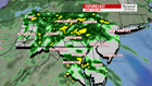


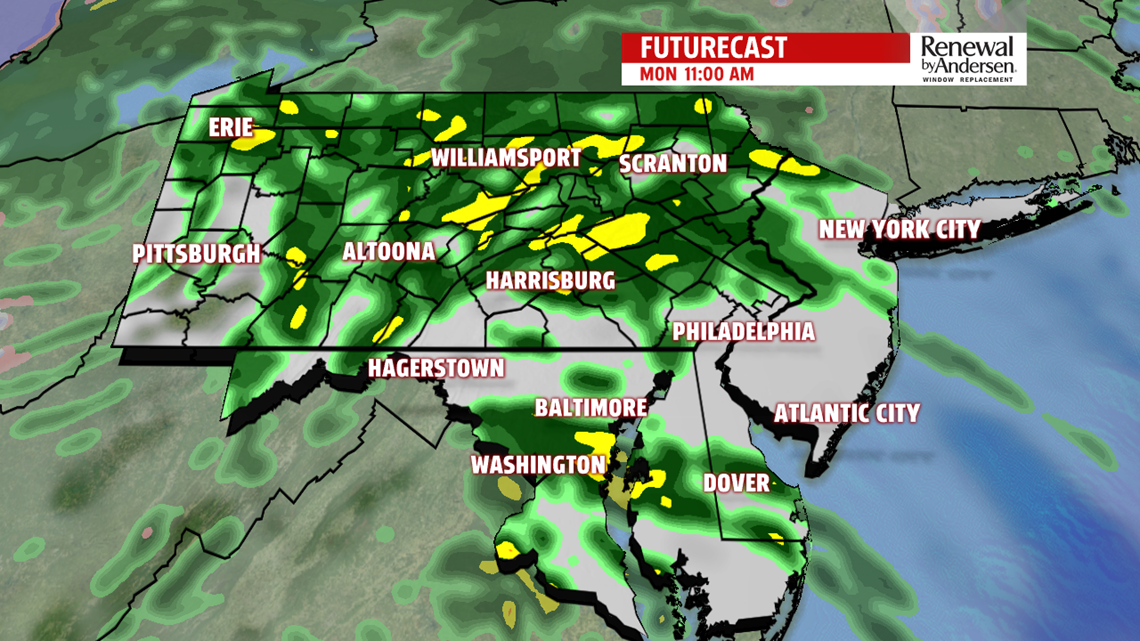
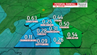

RAINY MONDAY: Rain moves in throughout the morning and stays with us as off-and-on showers throughout much of the afternoon. Rain will be light-to-moderate with some breaks in between. Highs at or just shy of the 50-degree mark will be the norm with totals around 0.25″-0.50″ likely. Locally higher totals will be possible, especially in our eastern counties. Rain is done by the early evening as we dry out heading into Tuesday.

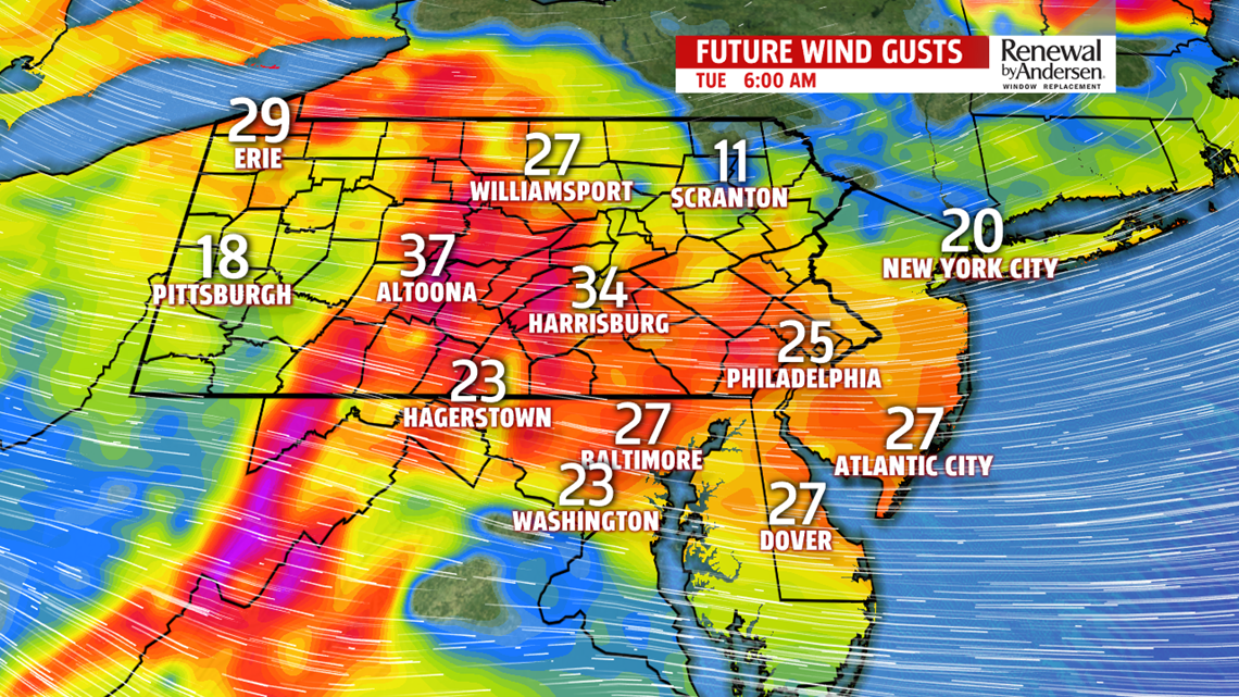
COOLING DOWN: Temperatures drop to near freezing overnight with gusty winds increasing out of the west and eventually northwest. Gusts of 25-35MPH will be the norm heading into the morning commute as cooler air rushes in. Partly cloudy skies dominate with afternoon temperatures near the 40-degree mark both Tuesday and Wednesday. We see more sunshine with winds calming down for Thursday. Highs rise to the low-40s.
A FEW RAIN CHANCES: Rain chances come back into the fold by Friday with highs in the low-40s. Shower chances start late and take over throughout the night. Some mixing looks possible as well before transitioning to plain rain as it ends early Saturday morning. Highs raise into the upper-40s Saturday and into the mid-50s by Sunday with more rain chances as another storm system passes overhead to end next weekend.
Have a great day!
-Meteorologist Bradon Long
