


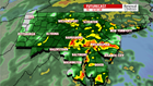

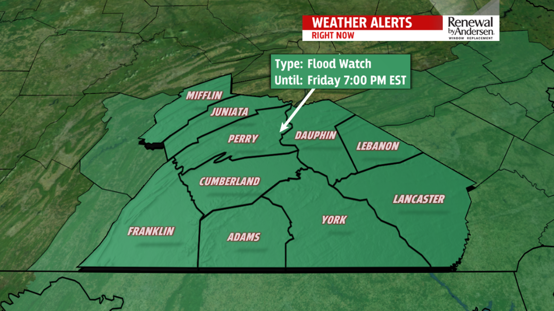
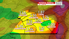
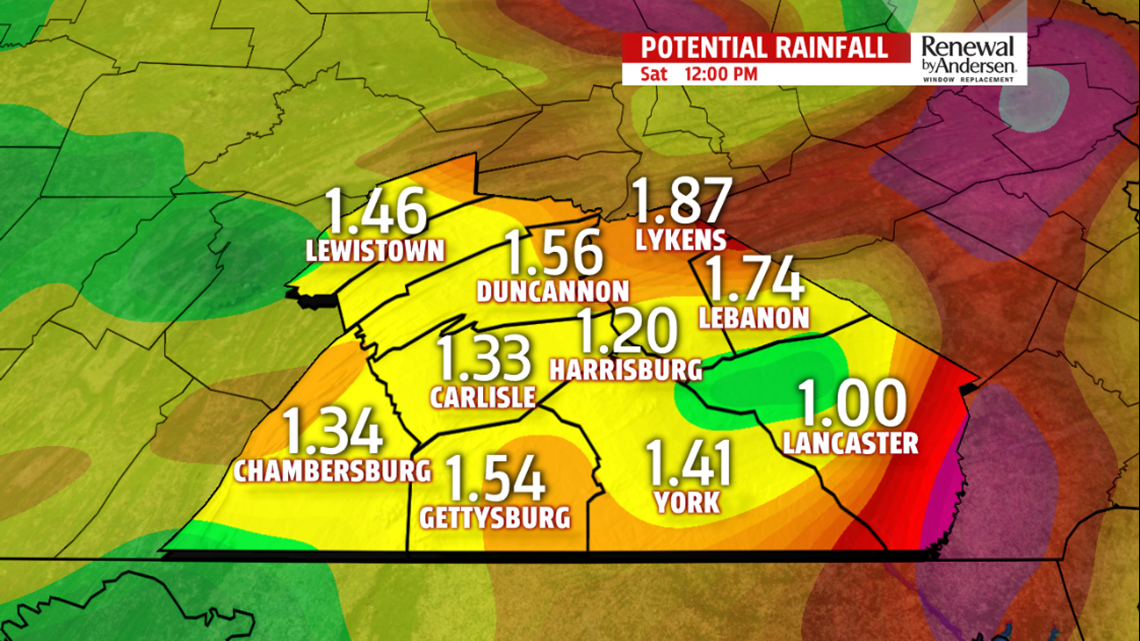
RAIN TAKES OVER: Increasing clouds throughout the morning after a chilly start. Temperatures will be limited to the mid-40s as a result. Spotty showers begin as early as 2-3PM and take over the area with consistent rainfall in the later portion of the evening commute. Steady and light, occasional moderate-to-heavy rainfall persists overnight and into Friday morning. Throughout Friday, rain will be off-and-on, but you’ll see multiple waves of shower activity out your door wherever you live. Warmer air will be brought in, too, with temperatures jumping to the low-to-mid 50s area-wide before the front passes through. Showers continue, spotty, into early Saturday morning. When all is said and done, a widespread 1-2 inches of rainfall will accumulate area-wide.
CLEARING, BREEZY WEEKEND: After a few morning showers, skies dry but remain cloudy and windy throughout the weekend. Northwesterly winds gust to 25MPH throughout Saturday and Sunday. Afternoon temperatures reach the mid-40s Saturday and low-40s Sunday with clearing skies to finish the weekend. A few flurries Sunday morning should stay just to the north and west of our region.


LOOKING AT THE HOLIDAY: Christmas Eve still has the very low chance of seeing a few flurries early in the morning, but most, if not all, of us remain dry. Highs near 40 will be the norm both Monday and Christmas Day itself. Partly cloudy skies will persist on an otherwise quiet holiday.
Have a great day!
-Meteorologist Bradon Long
