

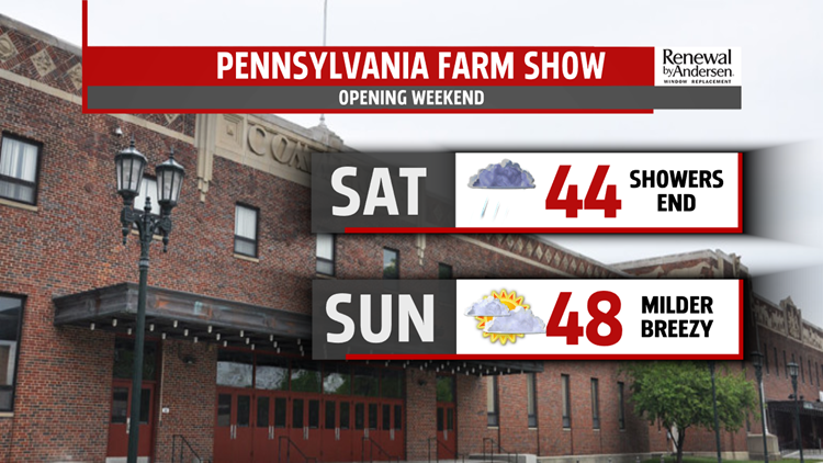

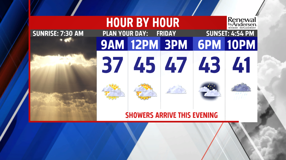

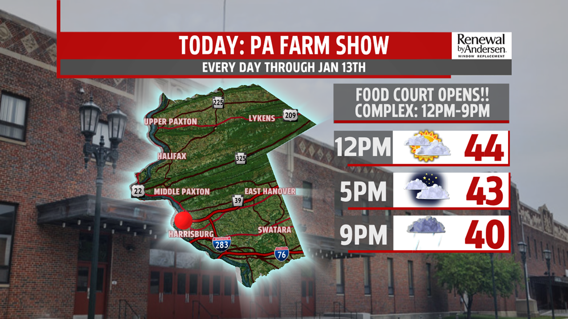


RAINY START TO THE WEEKEND: The showers linger through the morning Saturday, but the overall weekend gradually dries out. Showers slowly come to an end Saturday afternoon throughout the region. Most of the day is dreary, so temperatures are a bit cooler, with readings in the lower 40s. Sunday is finally dry again, and it’s a bit breezy too. Expect readings in the middle to upper 40s. Skies are partly sunny.
NEXT WEEK: The next system spreads fast throughout the region Monday, bringing plenty of clouds to the region, but most of the day should be dry. There’s the chance for showers later during the evening as the next system gets closer. Temperatures are in the 40s. The chance for showers continues through Tuesday as the system crosses through Central PA. Temperatures are chillier and only near 40 degrees, but they should be a bit milder for most spots by a couple degrees or so. The system exits late Tuesday, so Wednesday is drier and colder under partly sunny skies. It’s breezy too, with highs in the upper 30s. Thursday is still cold, with partly cloudy skies and lighter winds. Temperatures are in the middle 30s.
Stay Weather Smart with FOX43! Have a great weekend!
