

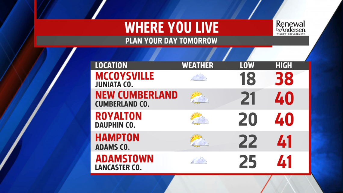
QUIET WEDNESDAY: Skies slowly clear a bit heading into the evening and overnight. Temperatures drop back into the low-to-mid 20s for morning lows. By afternoon, we near 40 under partly cloudy skies and light winds on a dry middle part of the week.


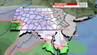
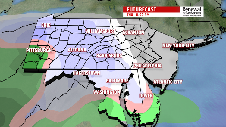
THURSDAY SNOW AND MIX: Increasing cloud cover limits us to near-freezing Thursday after a morning low in the 20s. Snow chances start late in the afternoon and into the overnight time frame. We could see a little mixing, but current guidance suggests mostly light snow across the area, ending early Friday morning. A few places could see a couple of inches of accumulation, stay tuned for updates and our official snow totals later on. Temperatures warm back into the low-40s by Friday.
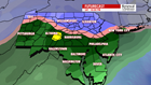
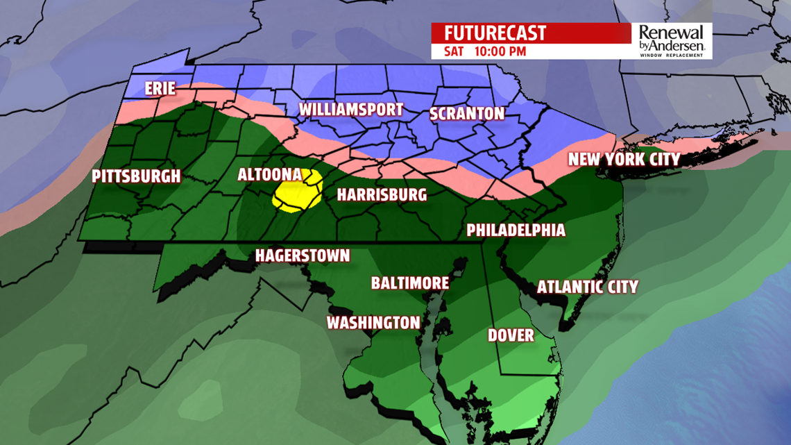

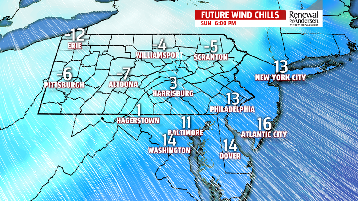
WEEKEND WINTER WEATHER: We still watch the critical freezing temperature line in the setup of our winter weather chances this weekend. The line is very close as a powerful system pushes through. Precipitation initially starts as snow Saturday before a large rise in temperatures heading into the overnight time frame. We will see a quick transition to rain with temperatures rising into Sunday morning. Quickly into the mid-to-late morning, the back side of the system kicks in with a powerful cold front. Temperatures drop rapidly, back easily into the 20s and even teens throughout Sunday evening. Winds gust to near 40MPH most of Sunday afternoon as we transition back to snow before precipitation ends Sunday. Totals are still too early to call. Keep with us, because a slight shift in track could massively raise or lower any potential accumulation, as well as the chances for other types of winter precipitation and typing.
Stay “Weather Smart” all week long with the FOX43 Weather Team!
-Chief Meteorologist MaryEllen Pann
