


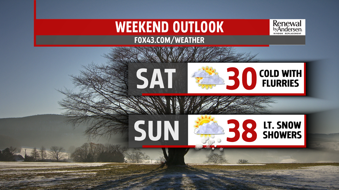
WEEKEND OUTLOOK: Colder air makes it back into the weekend forecast. Saturday temperatures should drop as that happens. Readings reach the middle 20s to near 30 degrees under partly sunny skies. Some flurries are possible. Readings quickly bounce back up into the middle to upper 30s on Sunday. A few snow showers are possible, but it does not appear to be anything major. Winds are lighter Saturday, but they should be light to calm on Sunday. Wind chills on Saturday feel like the lower to middle 20s.
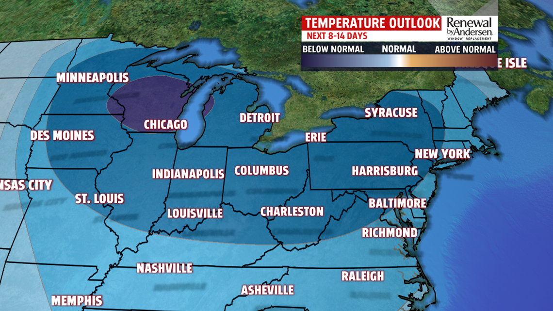
NEXT WEEK: We’re watching the next system early next week for a wintry mix potential. Monday is quiet with increasing clouds. Temperatures are in the 30s. Some light snow showers are possible overnight, and through Tuesday, there’s the potential for mixing with ice, perhaps rain depending on how warm temperatures can reach. This is still very far away, so expect changes to this forecast. We’ll of course keep you up-to-date on those changes and trends over the next several days, so stay tuned! No matter what happens here, there strong agreement on a push of frigid air into Wednesday. Temperatures fall into the 20s. Breezy conditions and flurries are possible, with wind chills in the teens.
Stay Weather Smart with FOX43! Have a great Thursday!
