
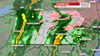
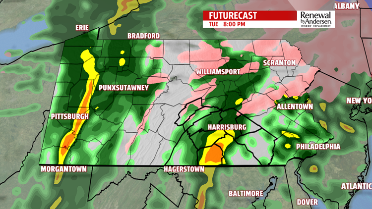
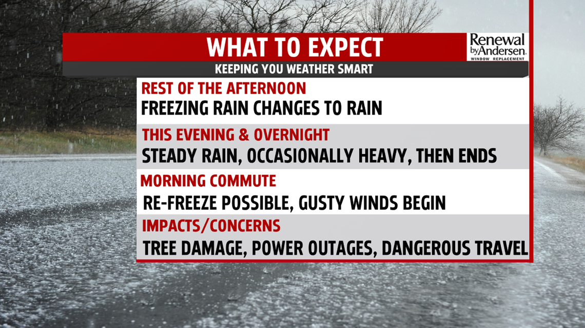
THE END OF THE STORM: The freezing rain and sleet line slowly move northward throughout the afternoon. The southern counties see plain rain first, with the evening commute home affected by sleet and freezing rain for a good portion of Central PA. Steady light, occasionally heavy, rain takes over the area throughout the rest of the evening and into the overnight time frame. This will wash away a good portion of the snow and ice that accumulated over the past couple of days. Temperatures hover around freezing and just below overnight, so the possibility of re-freeze will be present as you head out the door Wednesday morning.

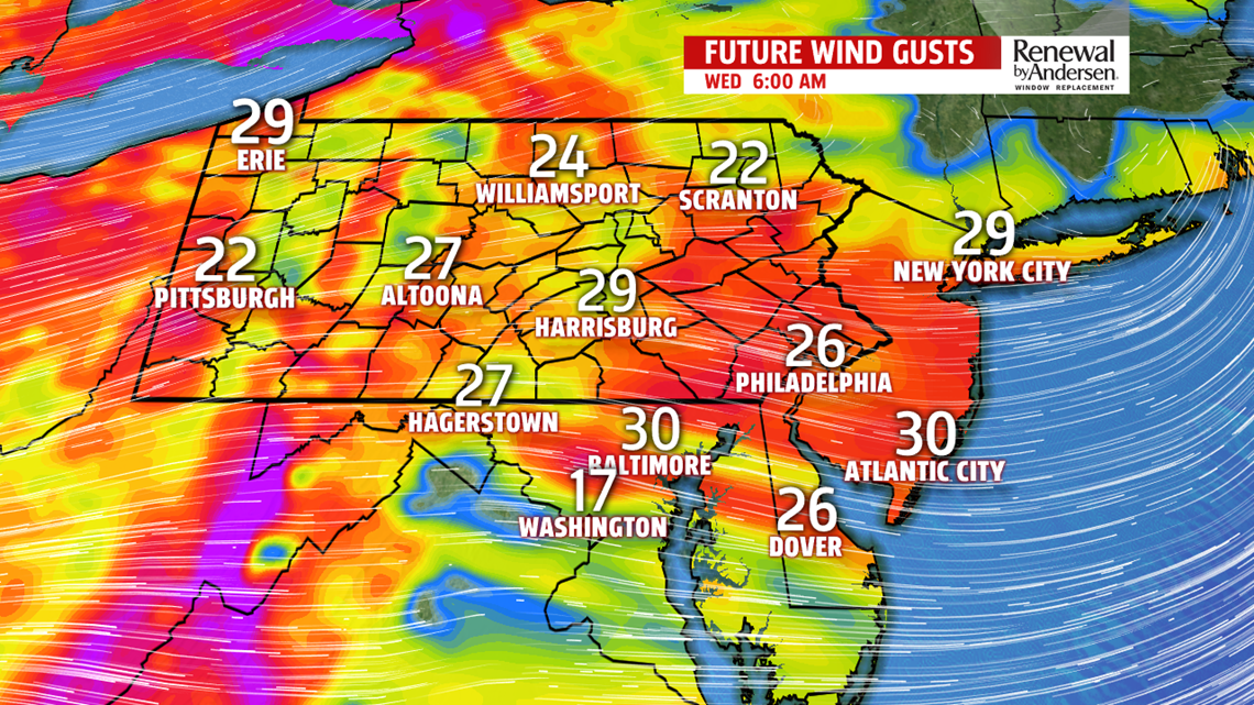
COLDER WEDNESDAY: As precipitation ends in the very early morning hours of Wednesday, winds out of the northwest really get going on the backside of the system. Gusts up to 35MPH will be possible with wind chills lagging behind at least 10-degrees from the actual temperature all day long. Highs will be in the mid-to-upper 30s with slowly clearing skies. Wind chills stay in the 20s all day long.

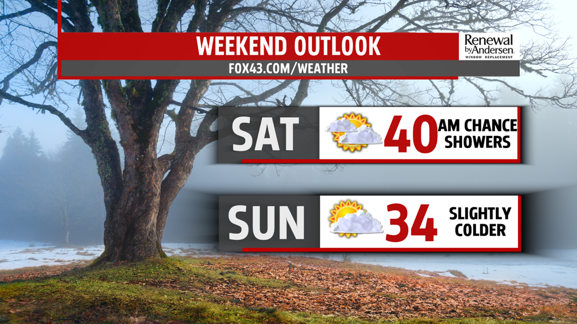
WARMING, RAIN CHANCES BEFORE THE WEEKEND: The breeze calms down slightly, but persists into Valentine’s Day. A southerly shift ushers in warmer temperatures in the afternoon. Highs reach the mid-40s under partly cloudy skies. We jump to near the 50-degree mark again on a warmer Friday before rain chances take over to the the work week. They continue overnight as rain activity dissipates into the weekend.
Stay “Weather Smart” with the FOX43 Weather Team all week long!
-Chief Meteorologist MaryEllen Pann
