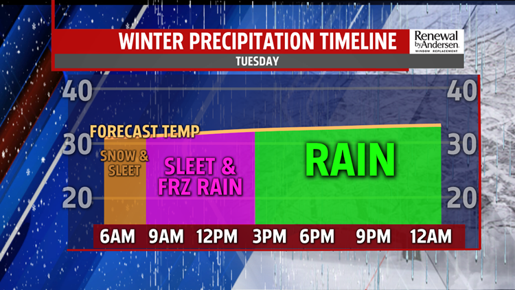


SNOW TO ICY MIX TO RAIN: Wave two of a complex storm system continues to bring a wintry mess on this Tuesday morning. Temperatures are below freezing and slowly creep above freezing from south to north through the midday hours. As this occurs, snow continues to changeover to an icy mix of sleet and primarily freezing rain through daybreak. Then, through the rest of the morning and into the midday hours, it continues to change to plain rain from south to north. Snow accumulations turn into ice accumulations through this time. Snow amounts overall range from 2 to 5 inches, with freezing rain amounts up to a quarter of an inch possible. Freezing rain amounts that high are dangerous, and they have the potential to bring downed tree branches and power lines in addition to icy roads. Rain showers won’t end until late Tuesday night. Lows fall into the upper 20s to lower 30s, bringing the potential for refreezing once the rain ends.
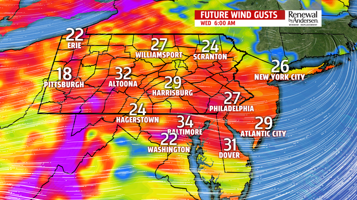
QUIETER MIDWEEK: Conditions turn a bit milder through the middle of the week, but most importantly, it will be quieter. Wednesday is breezy with partly sunny to mostly cloudy skies. Temperatures reach the middle to upper 30s. The moderation in temperatures continues into Thursday. Readings reach the lower to middle 40s with plenty of sunshine. Clouds increase late ahead of the next system. It’s a mild one for Friday, so there’s no concern for wintry precipitation types as this next system crosses through Central PA. This is all rain shower activity. Temperatures reach the middle 40s to near 50 degrees.
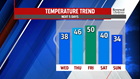

WEEKEND OUTLOOK: Temperatures start to come down through the weekend, but most of the time is dry. A few showers could linger into the early morning on Saturday, then skies are partly sunny through the rest of the day. Temperatures are in the upper 30s to lower 40s. Sunday is a bit chillier with partly cloudy skies. Temperatures reach the lower to middle 30s. Monday brings a glancing chance of winter weather with highs in the mid-30s.
Have a great day!
-Meteorologist Andrea Michaels