


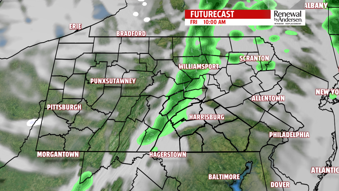
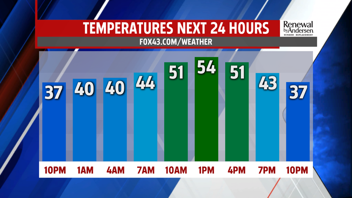
WARMER FRIDAY, LOW RAIN CHANCE: We stay dry for the rest of the evening. Temperatures drop out of the 40s and into the 30s for overnight lows with increasingly cloudy skies. A few stray showers will be possible in our far northern counties late tonight and early tomorrow morning. Our main Friday rain chance occurs after the morning commute for most, as showers weaken as they push into the area. Minimal accumulation is expected. Temperatures hit the low-to-mid 50s early in the afternoon as cooler air slowly moves in behind the rain. Overnight lows dip into the 20s Saturday morning.

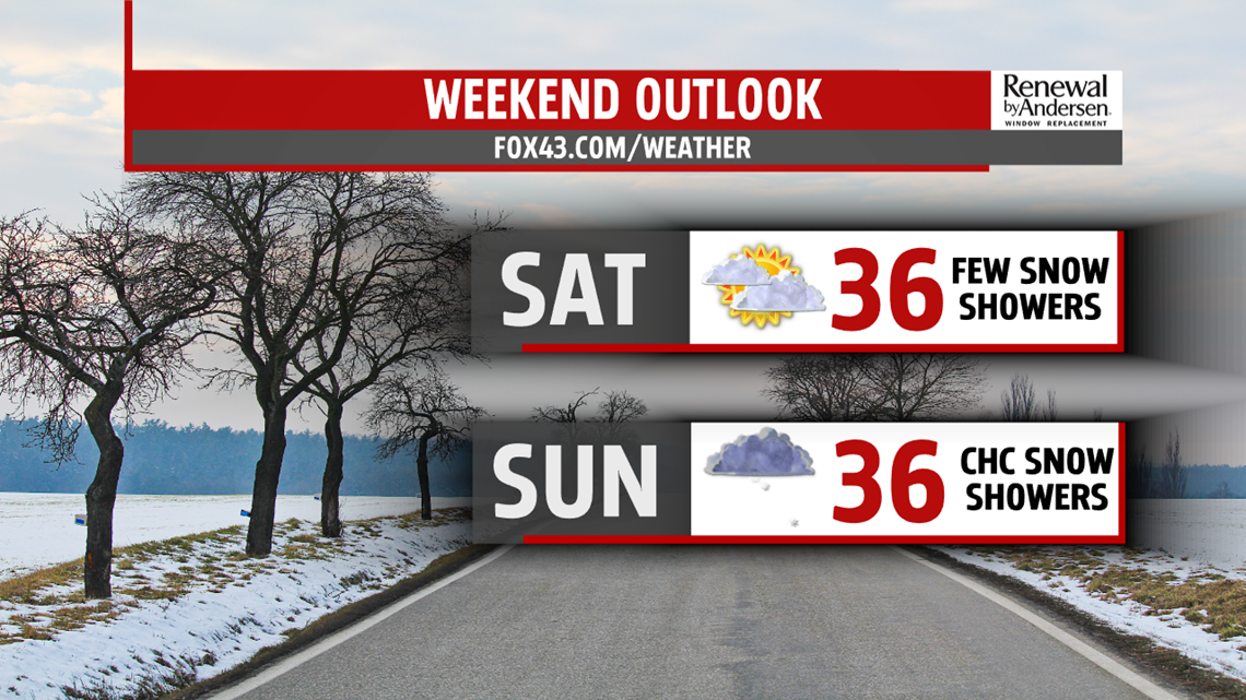
COLDER WEEKEND: We stay in the 30s all weekend long with mostly dry conditions Saturday, other than a weak snow shower chance early in the morning. Mostly cloudy skies persist. We are closely watching a southerly system that could skirt the Mason-Dixon with snow showers Sunday. A little accumulation can’t be ruled out at this point with the highest chance of snow along and south of the Turnpike. Stay tuned for updates. Highs Sunday reach the mid-30s.
EYEING NEXT WEEK: We start the week dry after a lingering snow shower chance early in the morning. We keep the mid-to-upper 30s through Wednesday with partly-to-mostly cloudy skies. We are also watching the chance for more winter precipitation by the middle part of next week.
Have a great day! Stay “Weather Smart” with the FOX43 Weather Team all week long!
-Meteorologist Jessica Pash
