
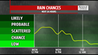
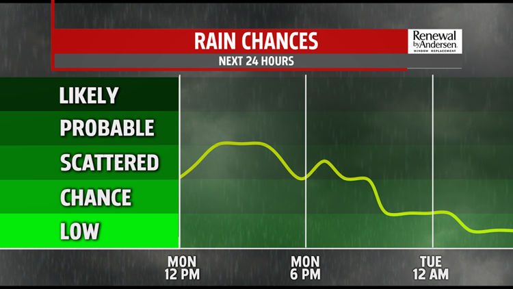

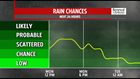

LABOR DAY: Cloudy skies and a few storms dominate the holiday to start the work week. Morning showers and storms are done by the mid-morning, but mostly cloudy skies remain behind. With the little dry time we have until the early afternoon, temperatures reach the low-80s. A few storms develop in the mid-afternoon and will last through the early evening. There is a very low risk of any storms to be severe. On a scale of 1-to-5, we’re at a 1 with gusty winds and heavy rain the main threat. We dry out throughout the evening with overnight lows in the low-60s for most.
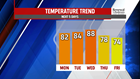

WARM, THEN COOL: Temperatures climb heading into Tuesday and Wednesday. Dry, partly cloudy skies take over Tuesday with highs in the low-to-mid 80s. An approaching cold front Wednesday pulls in some warm air ahead of a shower and thunderstorm threat by Wednesday afternoon. Highs at or just shy of 90-degrees will be the norm. The front is powerful, though, and will cool us back into the 70s as Hurricane Dorian approaches the Mid-Atlantic by the later part of the week. We stay in the 70s through the weekend with cloudy skies.

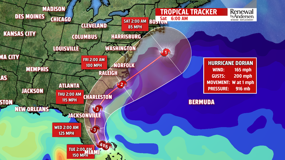
WATCHING DORIAN: As of the 5AM update, Hurricane Dorian is a powerful Category 5 hurricane over the Bahamas. Thanks to the front that’s impacting Central Pennsylvania today, as well as the one that brings our storm chance Wednesday, the hurricane will continue to slowly track towards and up the coast of Florida throughout the next couple of days. If the fronts are strong enough, the hurricane could stay off the coast of Florida. However, Central Florida is still in the forecast cone as issued by the National Hurricane Center. Damaging storm surge will be felt up and down the east coast, affecting Florida through southern Virginia as the hurricane weakens. By Friday, it’s still forecasted to be a Cateogory 1 hurricane with a huge forecast cone ranging from southern New Jersey and hundreds of miles out to sea. There is much to be debated in this forecast over the next several days, so get used to hearing about Dorian throughout the week and stay tuned for the latest updates.
Stay “Weather Smart” with the FOX43 Weather Team all week long!
-Meteorologist Bradon Long
