
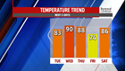


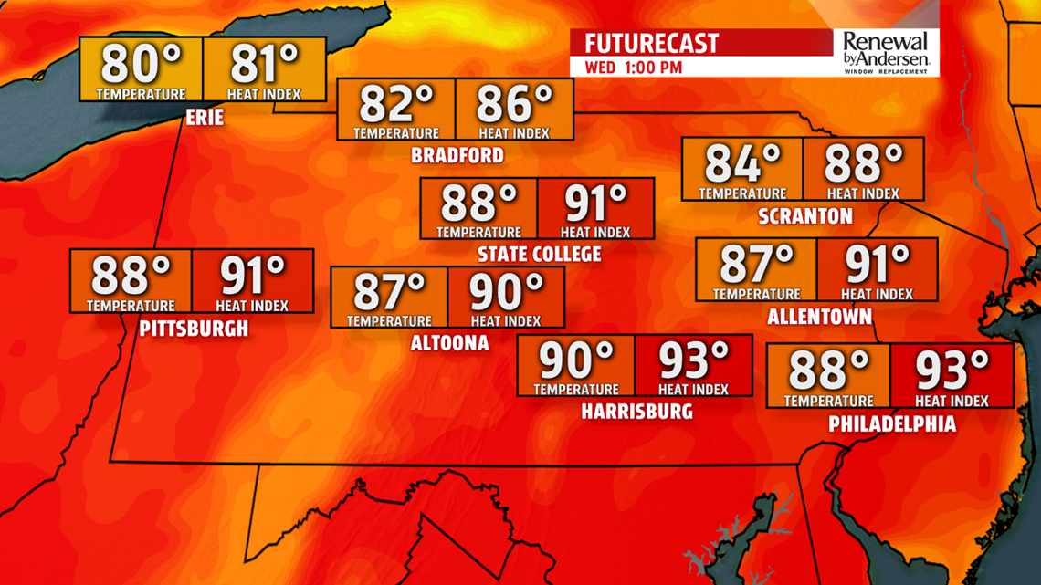
WARMING UP: Another humid afternoon for Tuesday with highs in the low-to-mid 80s. A nice mix of sun and clouds persists throughout the day and into the evening. Overnight lows dip into the upper-60s. We crank up the temperatures Wednesday afternoon with highs near 90-degrees. Heat index values will be in the mid-90s. A couple storms will be possible with an approaching front late in the day, but most of the activity should stick to our north before storms head our way Thursday.
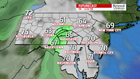
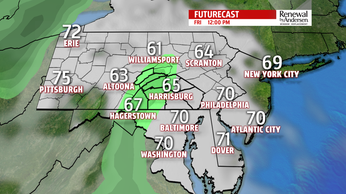
THURSDAY STORMS, FRIDAY SHOWERS: As the front begins to slow and stall as it pushes through our area, we have the risk of showers and storms Thursday into Friday. Highs stay in the upper-80s after morning lows near 70-degrees. Mostly cloudy skies dominate the day with a few afternoon storms into the early evening. Shower activity persists, spotty and nature, overnight into Friday morning. The chance stays with us Friday afternoon but decreases the further we push into the evening. Cloudy skies stay, though, and temperatures will be significantly cooler with Friday highs staying in the mid-70s.


HEADING INTO THE WEEKEND: The humidity stays this weekend with warming temperatures. A lot of sunshine heads our way Saturday with highs in the mid-to-upper 80s. There’s a low thunderstorm threat, so stay tuned for updates. Sunday highs are just a touch cooler, but staying in the low-to-mid 80s heading into next week.
Stay “Weather Smart” with the FOX43 Weather Team all week long!
-Chief Meteorologist MaryEllen Pann
