


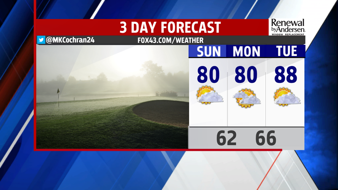
SLIGHTLY COOLER SUNDAY: The passing cold front will help lower temperatures on Sunday with highs in the upper 70s to low 80s across the region. These temperatures are still above average for this time of year. We can expect mostly sunny skies to close out the weekend. Overnight lows on Sunday will be in the low 60s.
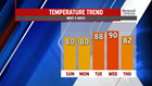

DRY AND WARM: Monday will remain dry, mainly cloudy, and relatively comfortable, with daytime highs in the upper 70s to low 80s. Parts of Central PA are abnormally dry with below average monthly rainfall. Tuesday and Wednesday will remain unseasonably warm with highs in the mid to upper 80s, higher humidity, and continued sunshine. We could possibly break daytime high records by midweek and approach 90 degrees! An increase in cloud cover is expected by late Wednesday and into Thursday with our next approaching cold front. Thursday could also feature a few showers and thunderstorms with the passing cold front. Models are still sorting out the details, but it does appear like fall-like temperatures return by late week and into next weekend.
Stay “Weather Smart” with the FOX43 Weather Team all week long!
-Meteorologist Molly Cochran
