

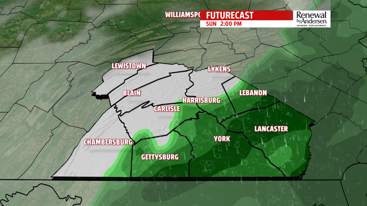

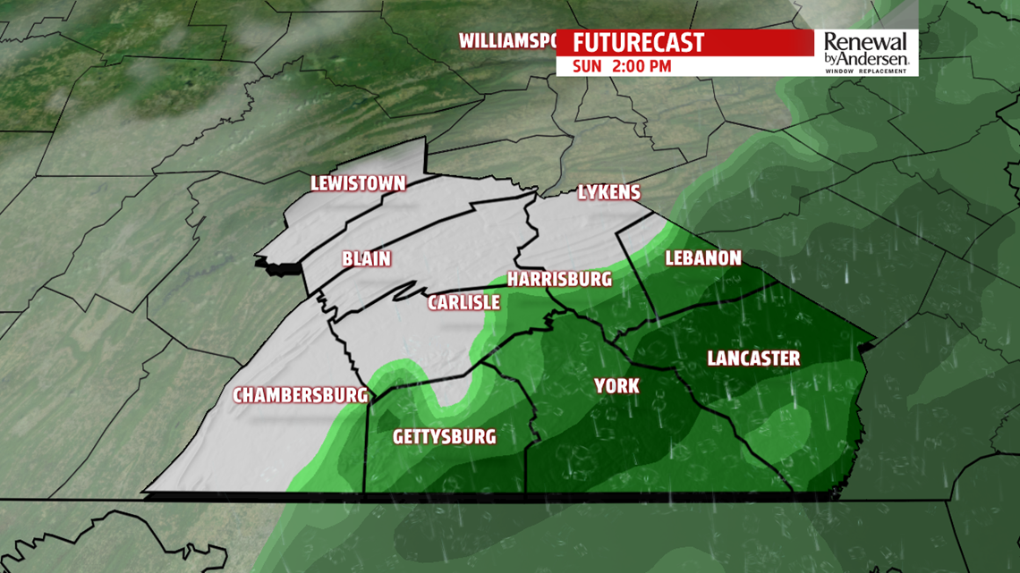
SUNDAY: Clouds increase into the early morning Sunday as Post-Tropical Cyclone Nestor moves north and east toward the mid-Atlantic. We are along the northern edge of this system. A few showers are most likely across portions of Franklin, Adams, York, Lancaster, Dauphin, Lebanon, and Berks counties from late morning through the afternoon hours. One to two tenths of rain is expected, while up to a quarter inch of rain is possible for Lancaster County and southern parts of York County. Afternoon high temperature on Sunday will reach into the mid-to-upper 50s.

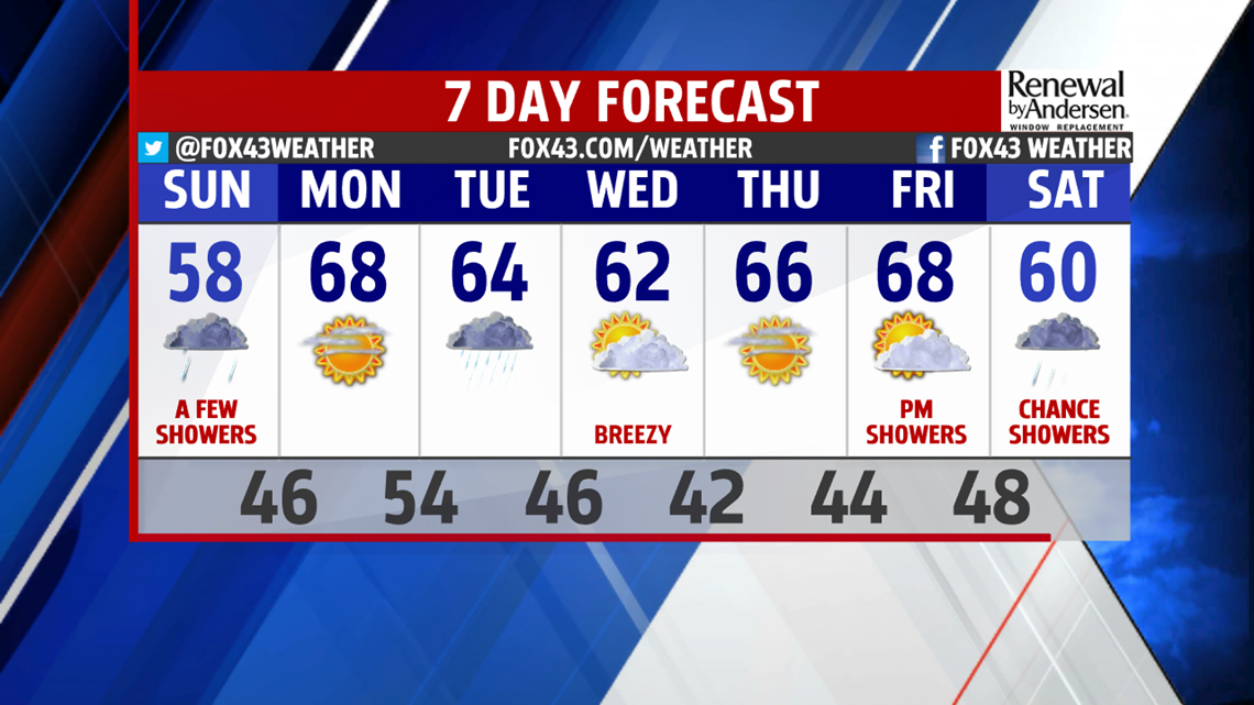
THE WEEK AHEAD: Monday is dry and mostly sunny with a high temperature near 68 degrees. A system moving across the Pacific Northwest will pick up energy as it moves over the northern Rockies. It brings us our next rainy day on Tuesday. We are in the mid-60s on Tuesday and this temperature trend continues through midweek with overnight lows in the low-to-mid 40s. The second half of the week is under high pressure with ample sunshine on Wednesday and Thursday. Clouds increase once again on Friday as our next weather system gets organized.

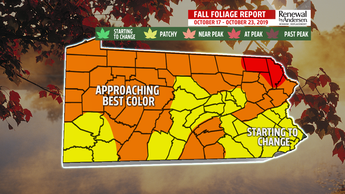
FALL FOLIAGE: If you are looking for good photo opportunities for fall foliage this week, best days to do so might be Wednesday and Thursday. South-Central Pennsylvania is seeing a mix of color starting to emerge on the hillsides and in our neighborhoods. Much of the northern tier and Appalachian ridges of Pennsylvania are now approaching their best color (as well as Perry, Cumberland, Adams and Franklin Counties).
Enjoy the seasonal weather!
– Meteorologist Alan Petko
