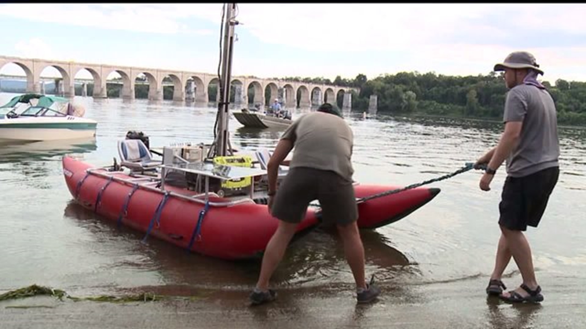
HARRISBURG, Pa. --The Chesapeake Conservancy and Envision the Susquehanna have hired a team from Terrain360 to digitally map the entire Susquehanna River.
The river is the longest on the East Coast. The team is using a boat equipped with six DSLR cameras to take photos. The cameras are mounted ten feet in the air and take 360-degree images about every 50 feet. The pictures will be stitched together to create a digital image map of the entire river.
“We started in Otsego Lake in New York and we are going all the way to the Chesapeake Bay," said Sam Christy from Terrain360.
The cameras will take about 250,000 pictures. The project will be completed around October.
“ You'll be able to see it on Terrain360. It’s a free website and you’re be able to virtually travel the river” said Christy.
The purpose, of the map, is to connect more people to the river. It will show public access points, history, recreation and points of conservation value. The Susquehanna has been on the list of most endangered rivers twice in the last ten years. By completing this map, the Chesapeake Conservancy feels people will be more likely to "become stewards of the Susquehanna".

