WASHINGTON — The recently released September 2024 U.S. and Global Climate Report came out later than usual because the National Centers for Environmental Information, which releases the information, is based in Asheville. Their operations were significantly impacted by Hurricane Helene, and they're still in the process of returning to full operations.
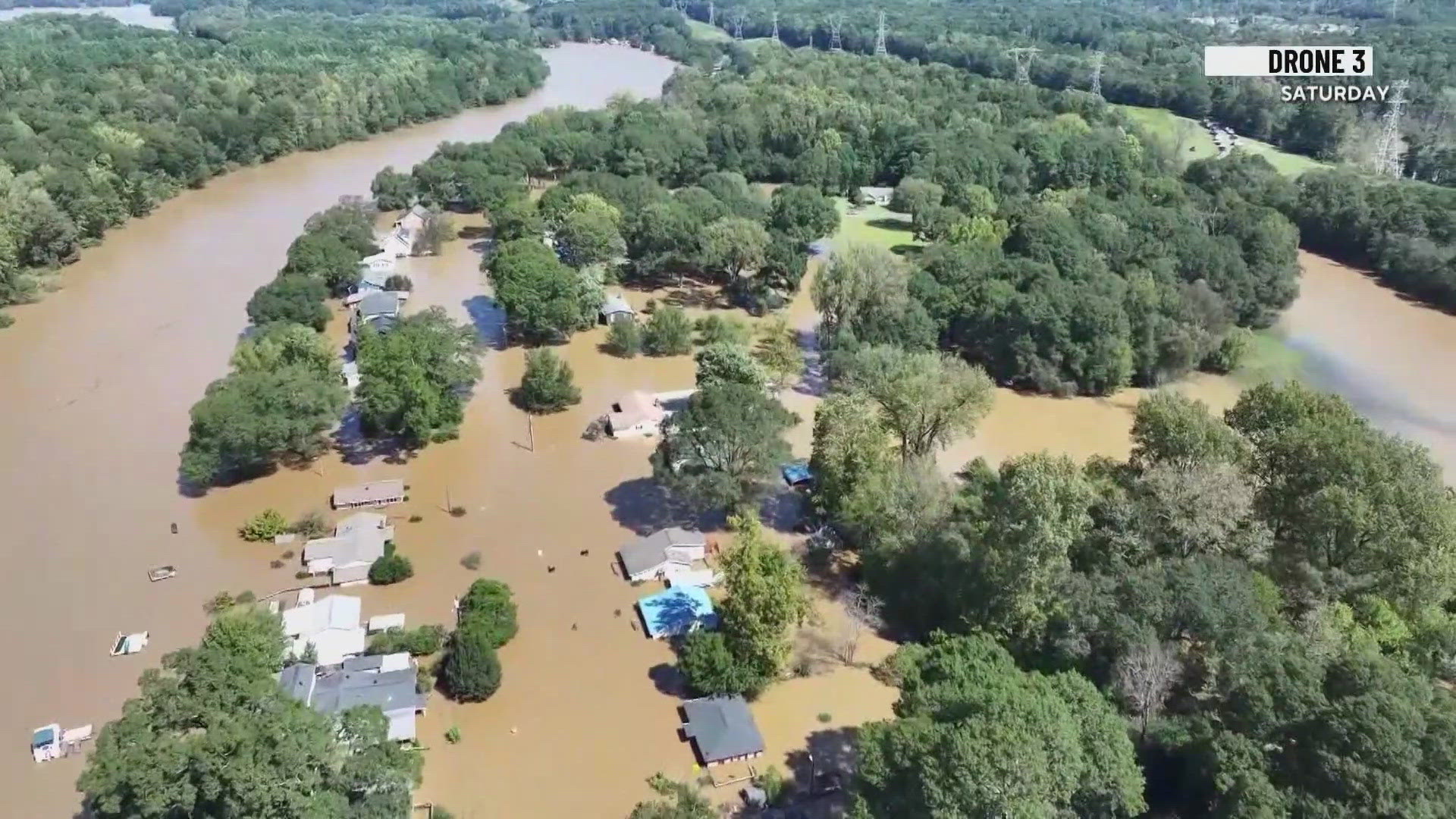
Helene was, naturally, a big part of the assessment. The storm was the strongest hurricane on record to strike the Big Bend region of Florida and the deadliest hurricane since Maria in 2017.
Helene was also among three hurricanes, including Debby and Milton, that were added to the 2024 Billion Dollar Weather and Climate Disaster Tuesday. The year to date now stands at 24 events -- the second-highest event total for this period.
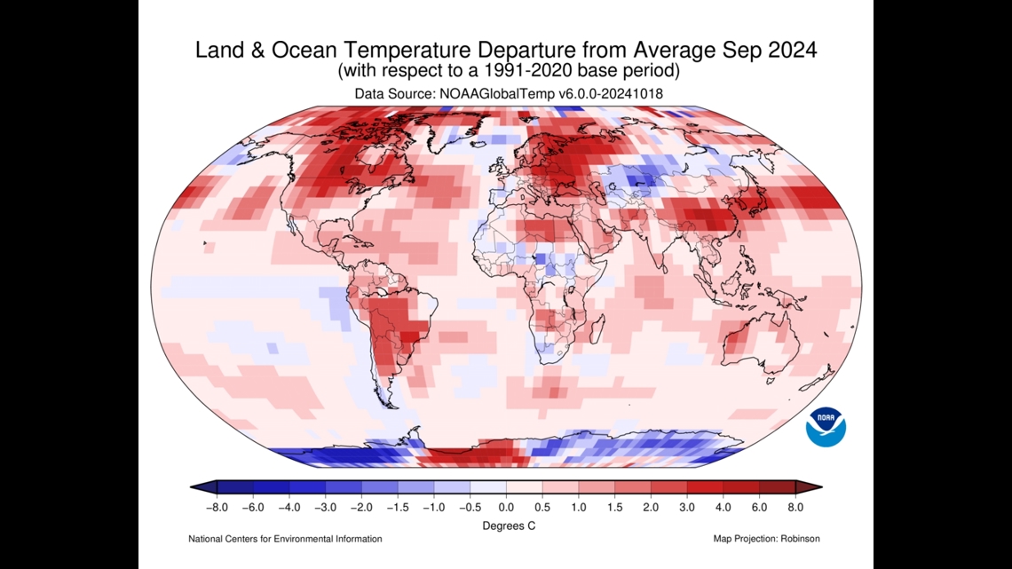
As far as temperatures go, the contiguous U.S. saw its second warmest September on record with exception heat recorded in the northern Plains, Upper Midwest and south Florida. To add a little more context, the average temperature for the U.S. in September was 68.6 degrees Fahrenheit, which is 3.8 degrees above average.
From a global perspective, the surface temperature including land and sea was 2.23 degrees Fahrenheit above the 20th century average of 59 degrees Fahrenheit making it the second warmest September on record.


And with this September clocking in cooler than last September, that does mean we have officially ended the 15 month streak of record warm global temperatures. But the National Centers for Environmental Information's Global Annual Temperature Outlook still predicts a 99.8% chance that 2024 will rank as the warmest year on record.
A few other highlights include:
Arctic sea ice extent was the 6th smallest in the 46-year record at 1.69 million square miles.
Antarctic sea ice extent was the 2nd lowest on record at 6.59 million square miles.
The Northern Hemisphere snow cover extent in September was slightly below average.
North America snow cover extent was below average by 320,000 square miles
Eurasia snow cover extent was slightly above average by 90,000 square miles
Global precipitation was near the long-term average for September
Much of the Sahara desert had its wettest September on record (largely because of a rare extratropical cyclone on September 7th-8th)

