HARRISBURG, Pa. — It’s time for another weather rewind, where we take a look back at this past week’s weather, but with a twist.
We’re looking back at the quick cold snap heading into last weekend, and exploring why they’ve been so few and short-lived.
LET’S REWIND
Unfathomable cold reached new lows on top of New Hampshire’s Mount Washington late last week.
Strong winds near 100 miles per hour and a temperature of negative 47 degrees Fahrenheit contributed to the bitter record-cold wind chill of minus 108 degrees Fahrenheit.
That surpassed the previous wind chill record in the nation held by Howard Pass, Alaska, and that was negative 105 degrees Fahrenheit.
The mountain with the tallest peak also smashed its own previous record of minus 102.7 degrees Fahrenheit back in 2004.
For some perspective, NASA says that’s slightly colder than the average on Mars!
Other spots throughout New England and upstate New York weren’t as bad, but wind chills there between minus 50 to minus 40 degrees Fahrenheit were still dangerously cold.
These bitter, arctic bursts have been few and far between this winter.
They’ve also been short.
Let’s talk about why.
WHAT’S HAPPENING?
We have to turn to the good, old polar vortex for the answer.
The term has gained popularity in recent years courtesy of national headlines, but it’s always been around.
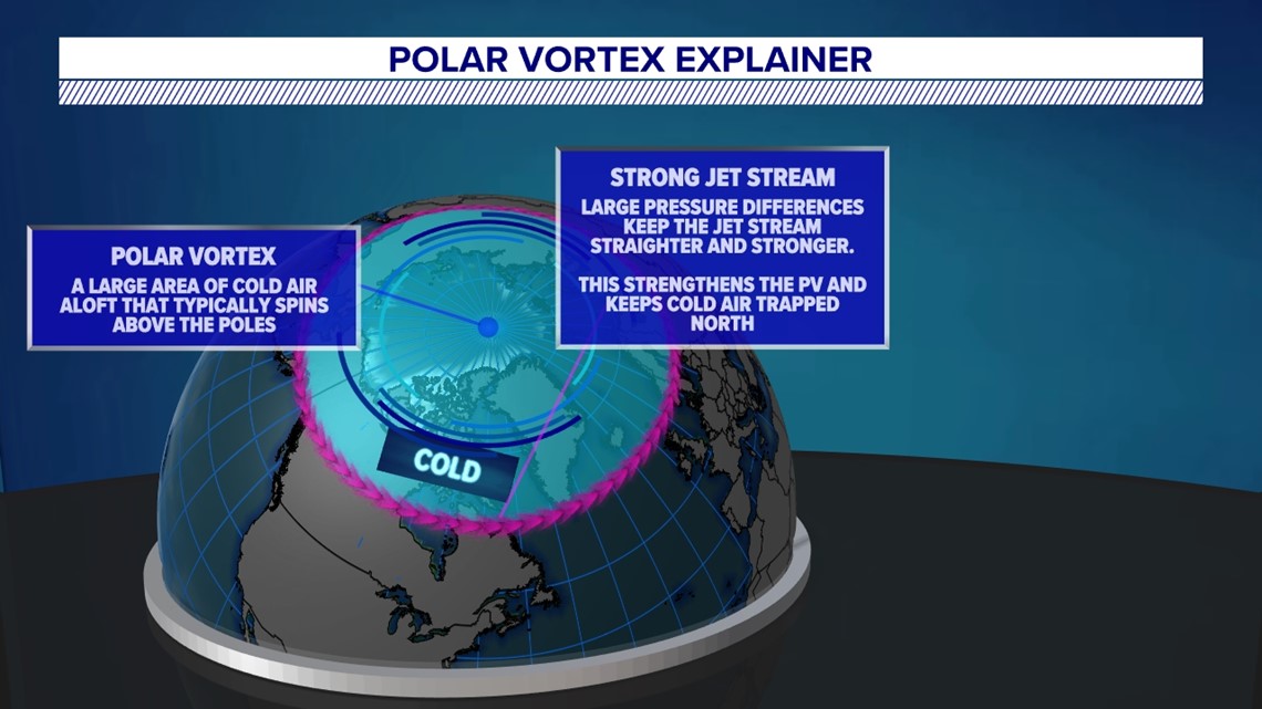
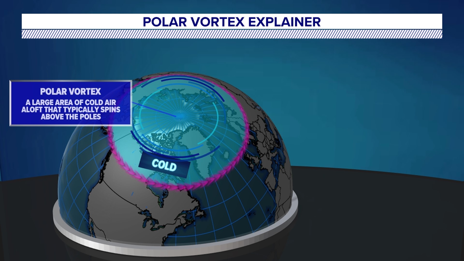
In simple terms, it’s a large area of cold air aloft that typical spins above the poles.
This means there’s one located at the South Pole and the North Pole—in fact, it’s usually much stronger at the South Pole!
The jet stream helps direct arctic air connected with the vortex.
When the jet stream is strong, it’s generally straighter and north of the states.
This keeps the cold air locked up at the poles and results in a stronger polar vortex.


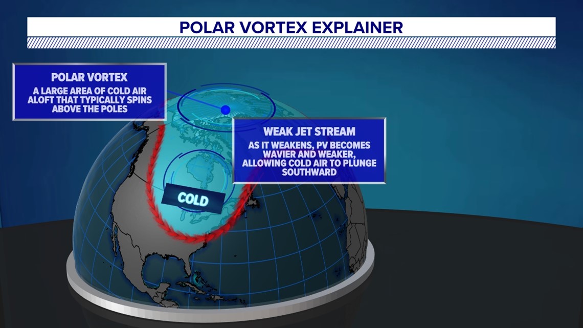
When the jet stream is weaker, it becomes wavier.
So does the polar vortex, and chunks of cold air can break off from the poles.
Under the right setup, this can allow arctic air to plunge south and linger for several days, if not longer.
Strong arctic areas of high pressure can help bring them into the Northeast and Mid-Atlantic.


However, strong arctic air masses do not mean a strong polar vortex. It means the opposite!
So, if you want snow here, you want a weaker polar vortex to help get cold air in place.
This detail has often been misrepresented at times.
So far this season, the polar vortex has generally been strong, and the northern branch of the jet stream has stayed too far north.
As a result, blasts of the bitter air have been limited, especially in central Pennsylvania this season.
Stay tuned for all the “whys” behind the weather wonders that grab our attention each week!

