PENNSYLVANIA, USA — Debby continues to bring heavy rain, strong wind, and storm surge to the southeast Wednesday.
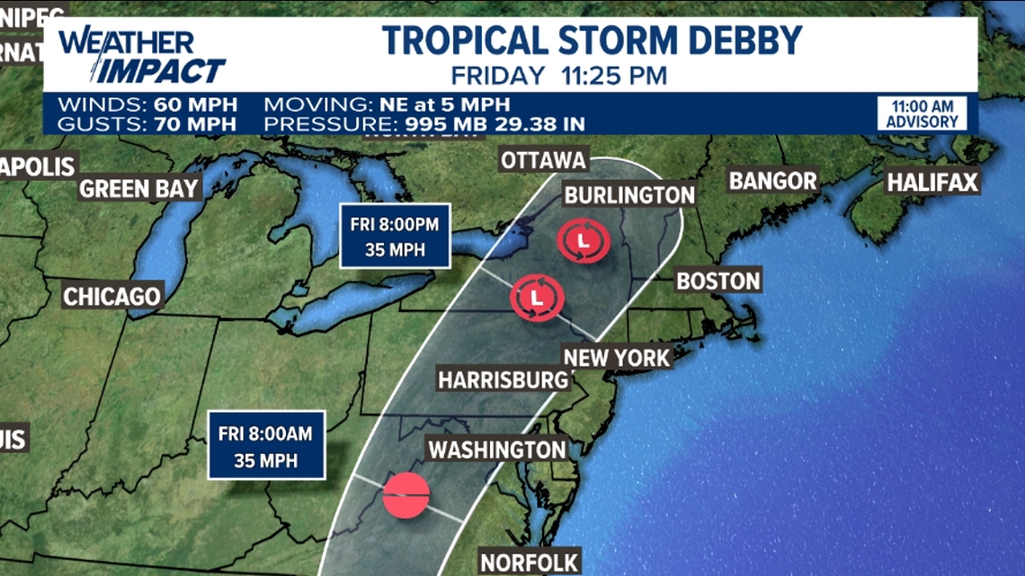
The storm still maintains Tropical Storm strength with winds near 60 mph as it sits over the Atlantic. The storm is expected to slowly move inland, making another landfall in South Carolina and continuing to move north.
While Debby will eventually lose Tropical Storm strength wind speeds as it moves inland, the moisture from the storm will still cause flooding issues along the East Coast, including in South Central Pennsylvania.
The latest models have sped up the timing of Debby and shifted the center of the storm slightly to the west. The center of the storm will move over Pennsylvania on Friday, though rain from the storm will arrive as early as Thursday evening.


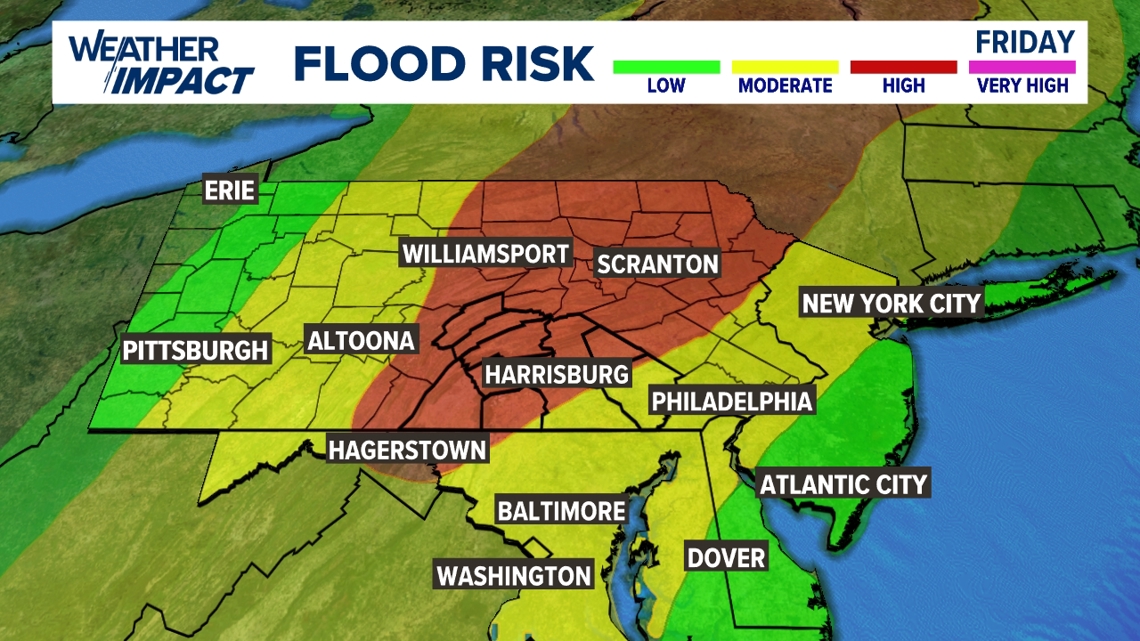
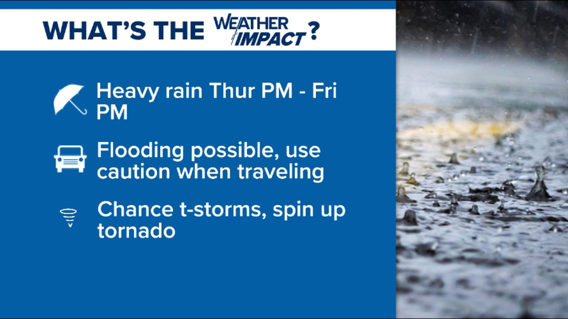
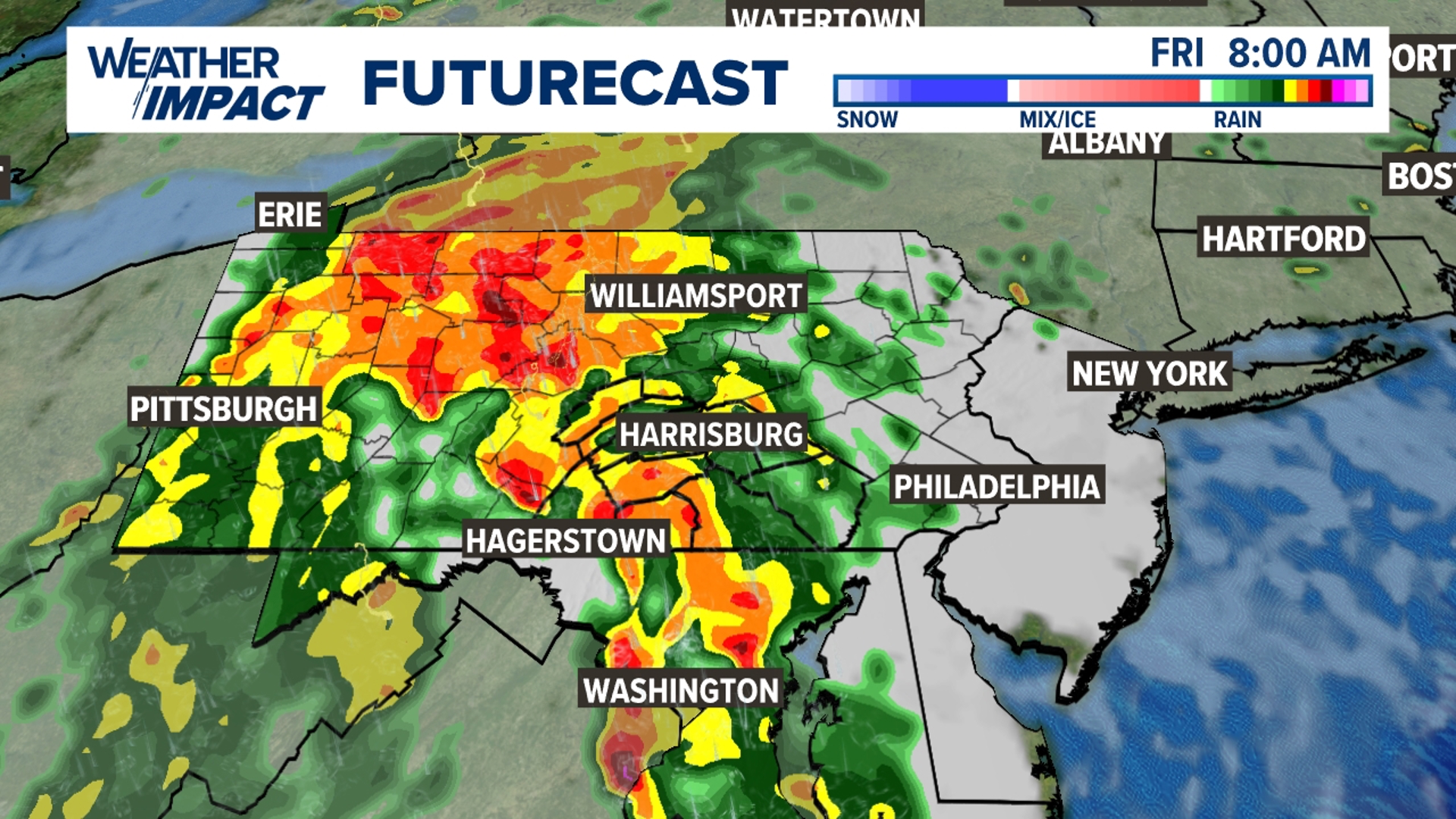
We'll watch as rounds of heavy rain start Thursday evening and continue overnight, through Friday morning's commute, and into Friday afternoon. We're expecting another good soaking, with rain totals between 2 and 4 inches possible. Higher amounts are possible west of Harrisburg depending on the ultimate path of the heaviest storms. The return for flooding issues returns with most of our area under a high risk for flooding Friday.


If you are traveling on Friday, make sure to give yourself extra time and watch for flooded roadways. We'll also be watching local creeks and streams for minor rises in waters.
In addition to the flood risk, there is a low chance for severe weather on Friday as often happens with tropical systems. We'll watch for gusty winds and a brief spin up tornado as the system moves through.


The heavy rain from Debby will clear our area late Friday, leading to a drier and more comfortable weekend.

