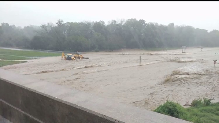
STATE COLLEGE, Pa. - After a year of record rainfall in many locations in Central Pennsylvania, river flooding remains our highest concern for the next several months, according to hydrologists at the Mid-Atlantic River Forecast Center at the National Weather Service in State College.
“River conditions are very high at this point - any time we get one or two inches of rain, we’re seeing flooding at some place," Robert Shedd, Service Coordination Hydrologist, said.
And many of our creeks and streams are amongst the most active in the Mid-Atlantic.
“The Swatara Creek, Yellow Breeches Creek that can cause very quick problems. Juniata River we’ve also seen a number of issues," Shedd said.
For the most part, we've dodged a major winter hazard, though - ice jams.
"It didn’t stay cold enough, long enough to build a thick ice pack on our rivers this year," Charles Ross, Service Hydrologist, said.
For now, what we need is the obvious - a long duration of dry weather. However, that doesn't look to be headed our way any time soon.
For information on how to prepare and deal with river flooding, visit your county and municipalities' websites, as well as the Pennsylvania Emergency Management Agency.


