The Storm Prediction Center recently changed how it conveys severe weather threats to the public, and soon we will start seeing those changes as the spring season continues.
Originally, the SPC used three categories to express severe weather threat: slight, moderate, and high risk. Now, there are two new categories.

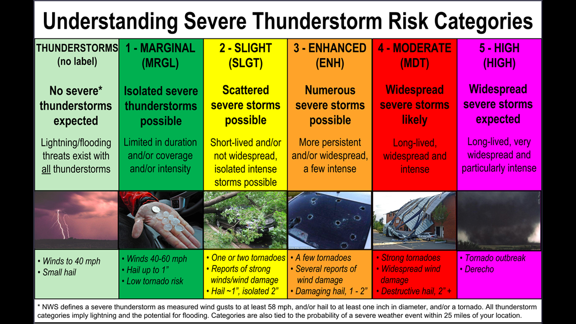
The first is marginal risk. This new category is placed below slight risk, and it means limited duration time of severe thunderstorms, their coverage, and intensity. The tornado probability is low, hail is expected to be less than an inch in diameter, and winds from 40 to 60 miles per hour are possible. The slight risk category now indicates the possibility for a couple tornadoes, strong winds, wind damage, and hail of one inch in diameter.
The second new category is enhanced risk. It's placed above the slight risk and below the moderate risk to indicate an elevated severe weather threat. A few tornadoes are possible in the highlighted area, along with several reports of wind damage and 1 to 2 inch sized hail.
Moderate risk now indicates the likelihood of long-lived, widespread, and intense storms. Strong tornadoes, widespread wind damage, and hail greater than 2 inches are likely. High risk means widespread severe thunderstorms are expected. Tornado outbreaks and long-lived severe thunderstorm complexes (such as a derecho) are expected within this category.
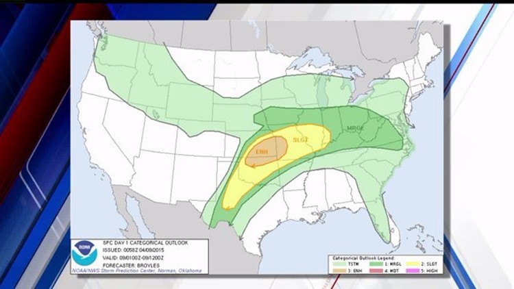
Based on the average severe weather season in Central PA, we'll see the three low end categories a majority of the time outlooks are issued.
For more information on the SPC's outlooks, click here.