Temperatures will remain above normal and continue to trend milder as we head into the first full week of February.


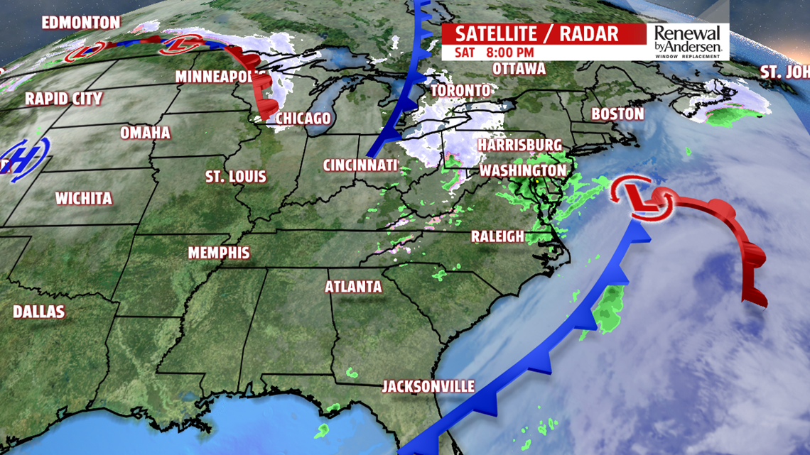
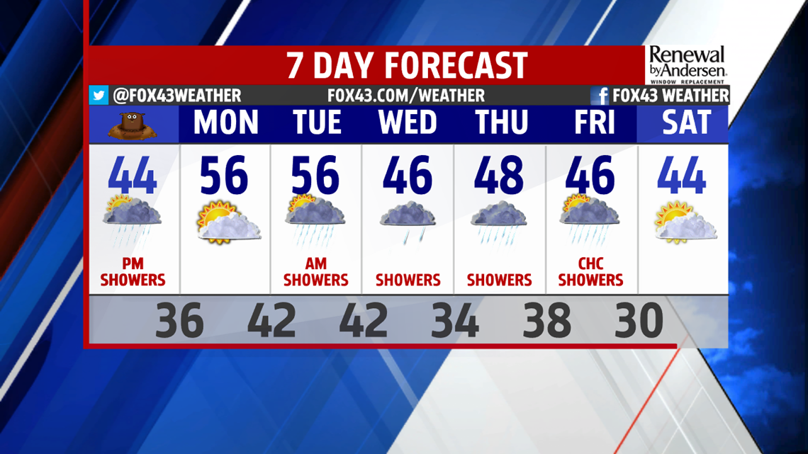
GROUNDHOG DAY: Morning cloud cover may bring a challenge to Punxsutawney Phil Sunday morning. A weak disturbance will cross the state Sunday. Moisture is limited but brings a chance for a few afternoon showers. Precipitation should come to an end in the early evening hours. Afternoon high temperature on Sunday is expected to reach again into the mid-40s, with overnight lows, still 10-15 degrees above normal.


MILD AND RAINY TREND: Monday is dry as a ridge nudges into the Eastern U.S. It is short lived as it gives way to a series of disturbances – bringing unsettled weather for the remainder of the week. Warmer air moves in with high temperatures on Monday and Tuesday in the mid 50s! Morning showers arrive Tuesday and is otherwise mostly cloudy.
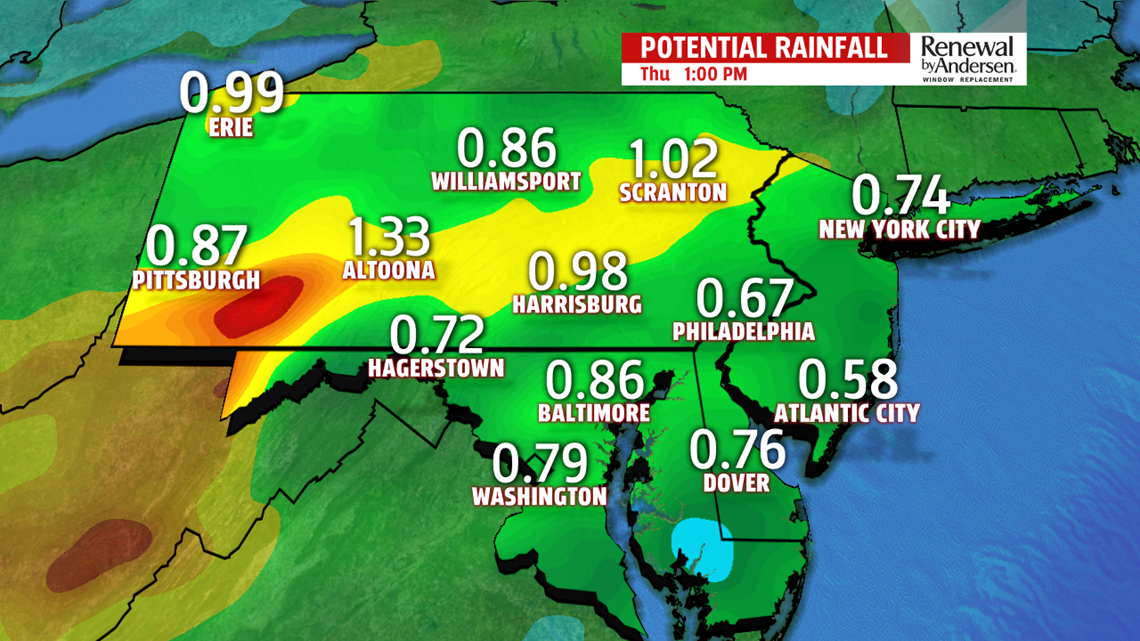
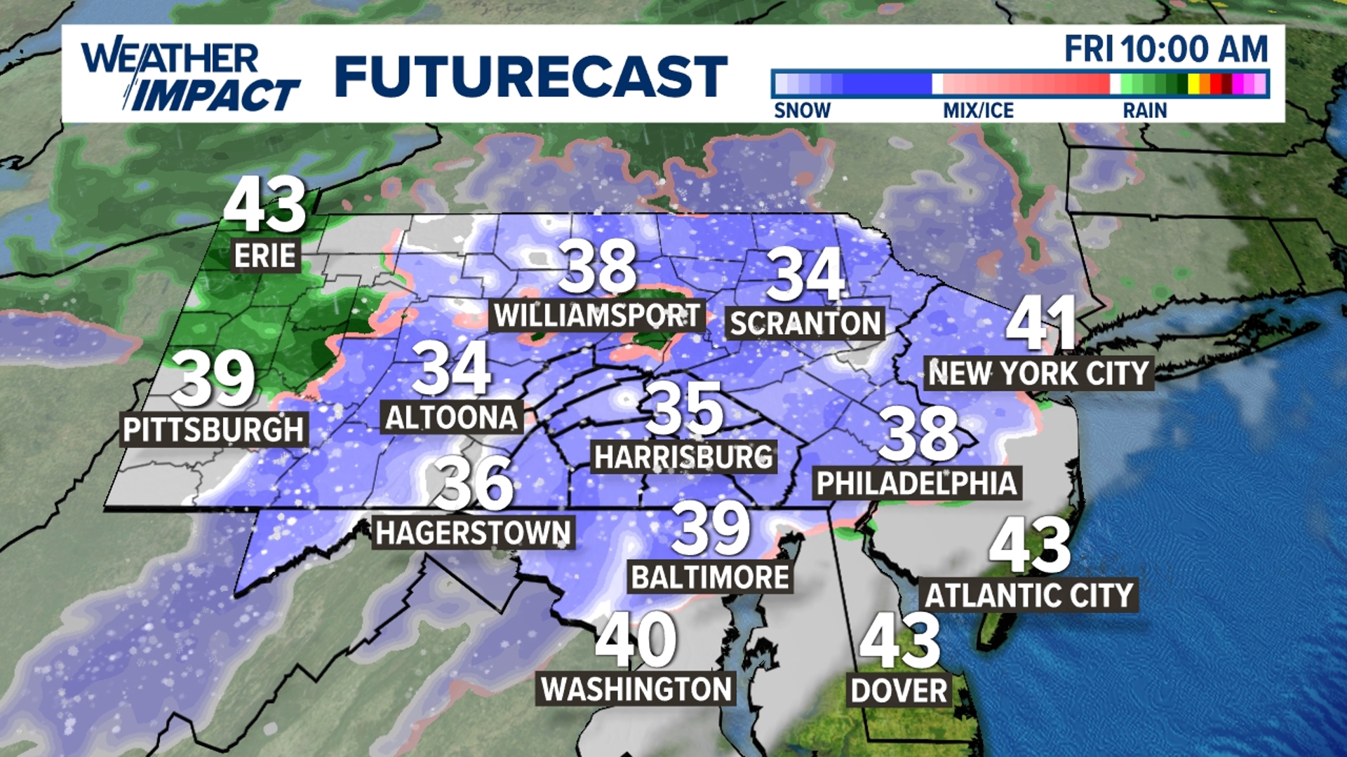
Moisture is on the increase Wednesday and Thursday with additional rainfall. By Thursday, we could have up to around an inch of rain. Wednesday and Thursday are cooler with high temperatures in the mid-to-upper 40s. We dry out toward the end of the week, with temperatures also still about 10 degree above normal.


Stay “Weather Smart” with the FOX43 Weather Team all week long!
Enjoy the rest of the weekend!
– Meteorologist Alan Petko


