MISSISSIPPI, USA — It’s time for another Weather Rewind, where we look back at this week’s most impressive weather!
This week, days of severe weather in the South brought damaging winds, tornadoes, and large hail—a size that’s rarely ever seen here in Pennsylvania.
LET’S REWIND
Almost 200,000 customers were left without power after Wednesday’s storms alone.
Lightning struck a traffic camera near Savannah, Georgia, where part of I-95 was shut down from fallen power lines. A tornado was also confirmed nearby.
In Alabama, a tornado damaged several homes and businesses in the city of Eufaula.
East of Dallas, another possible tornado shredded a two story building and damaged cars.
The hail was exceptional, too!
A handful of cities in Arkansas reported small to even baseball-sized hail.
One of the largest came from Mississippi, where this monster hail measured a little more than 5 inches in diameter. That’s almost 9 inches in circumference.
Fortunately, larger hail likes this is very rare here in Pennsylvania.
But what helps it get that large in the first place? Let’s look at the process.
WHAT’S HAPPENING
Hail size is based on the strength of updrafts in a thunderstorm.
That’s the air flowing up into a thunderstorm and what helps create the storm in the first place.


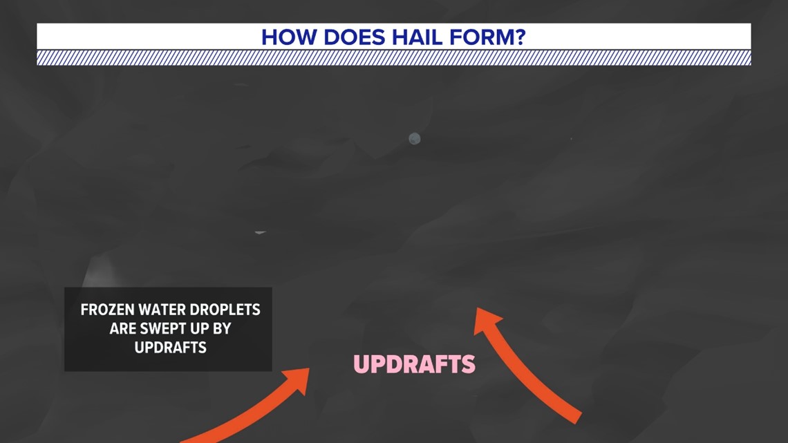
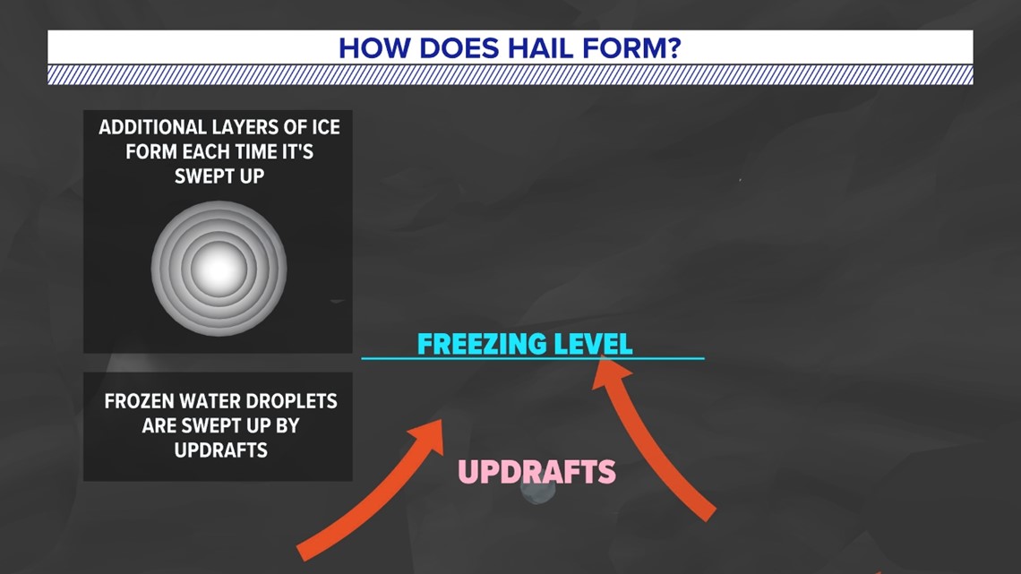
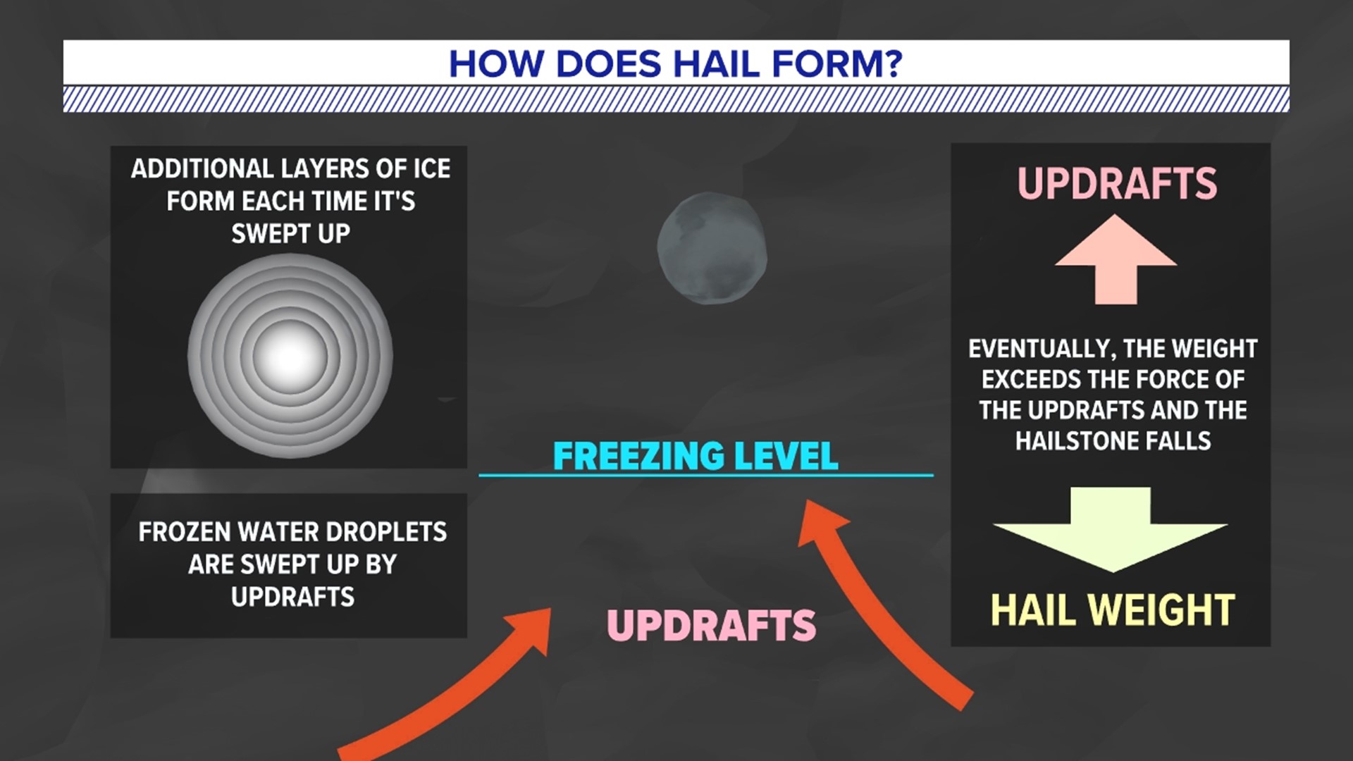
Frozen water droplets high up in the thunderstorm cloud are pushed higher by the updraft.
As that happens, it adds a layer of ice, and then it falls back down a little.


As long as the updraft is strong enough, this up-and-down process repeats itself, adding more and more layers to the hail.
Eventually, the size of the hailstone becomes so large, it overcomes the force of the updraft.


So, the hail falls out of the storm.
Put simply, the stronger the updraft, the larger the hail size.
Stayed tuned for more impressive weather, and the “whys” behind these weather wonders each week.

