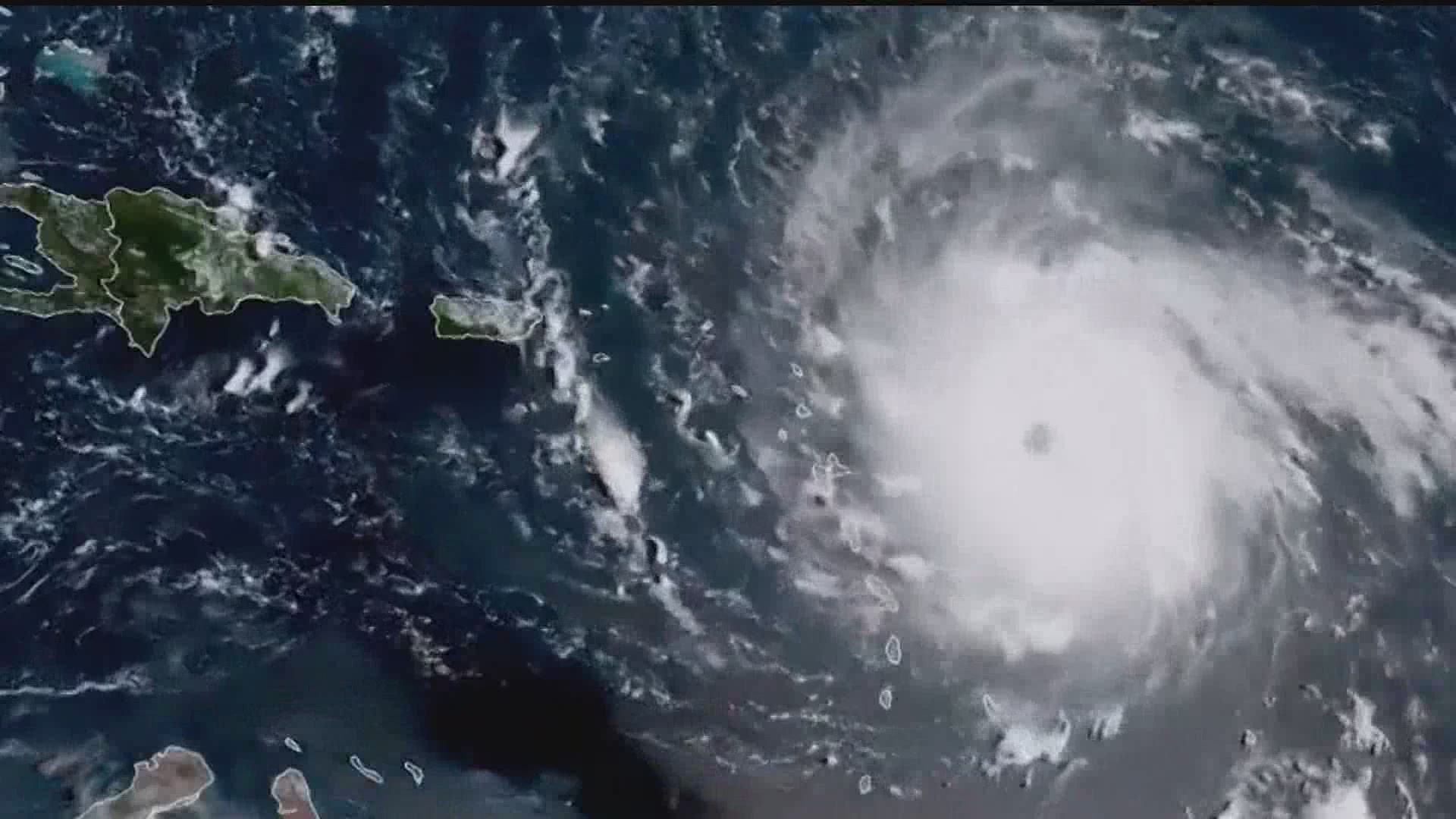
2020 could shape up to be one of the busiest hurricane seasons on record in the Atlantic Ocean and Gulf of Mexico.
Nine storms have already been named as of Tuesday morning, well above the average.
In a virtual meeting of the National Tropical Weather Conference, National Hurricane Center Director Ken Graham said we're well ahead of the season as we near its typical peak.
"On average, the third named storm occurs on August 10th with the first named hurricane on that date," Graham said.
Storm Isaias reached hurricane status multiple times as it approached the eastern coast.
2020 is also the sixth straight year we've had a named storm before the official beginning of hurricane season - June 1st.
The National Weather Service office in Corpus Christi, TX created a map showing counties all across the eastern seaboard and Gulf of Mexico impacted by tropical activity already this year.
"It's interesting to see that kind of map early in the season," Graham said.
With the increased activity, the Climate Prediction Center updated its hurricane outlook, now with an expected 19-25 total named storms in the Atlantic this year, with 7-11 reaching hurricane status.
We're nearing the peak of hurricane season as August and September usually shape up to be the busiest months of the season.
"It's going to get really busy here in the next few weeks," Dr. Michael Brennan of the National Hurricane Center said.
If you haven't already, now is the time to take your usual precautions and have a plan in place should we have more tropical activity heading towards Central Pennsylvania. You can find more information on the National Weather Service's website.

