CALIFORNIA, USA — It's Friday, and that means it's time for another Weather Rewind, where we take a look at some of the best weather video from the past week—with a twist.
This week we're looking at another area in the U.S. that got its first snow of the season!
Let's Rewind
We need to take a trip all the way over to the western part of the nation for this one!
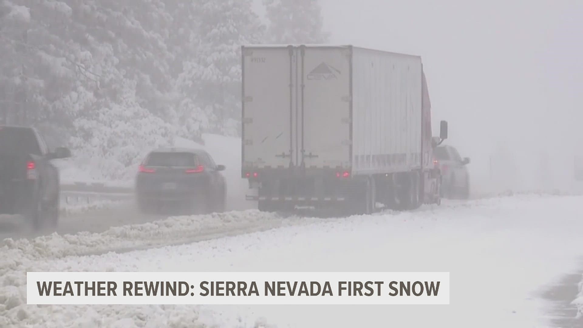
You’ll also need to go up a little in elevation too—above 3,500 feet in the Sierra Nevada Mountains of California.
That's where five to eight inches of snow was expected, but the highest elevations recorded nearly a foot of fresh powder.
Chain controls were needed, but lowered visibility and snowy roads still lead to multiple spinouts and crashes.
What’s Happening?
As far as the first snow goes for the season, this is right around the time the California mountains see their first snow.
The snow started a bit late last year, so it was welcome at the popular slopes.
You'll recall a couple weeks ago in a previous Weather Rewind, we talked about the first lake effect snow in Michigan's Upper Peninsula and that was right around average as well.


And for us?
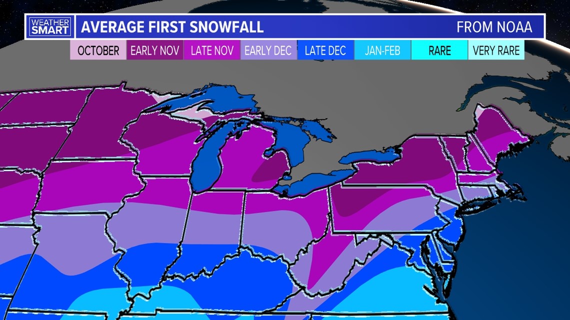
Well, most of Central Pennsylvania averages the first snow in the early part of December.
But we've been known to get some earlier snowprises in November.


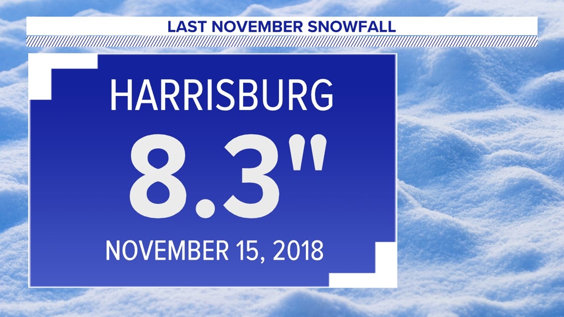
The most recent for us was back in 2018, when 8.3 inches of snow were recorded in Harrisburg on Nov. 15.
Stay tuned every Friday for the "whys" behind the weather wonders that grab our attention each week!

