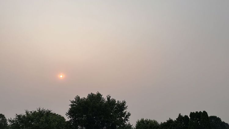
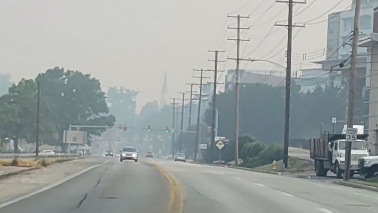
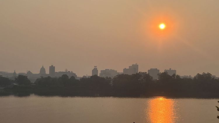
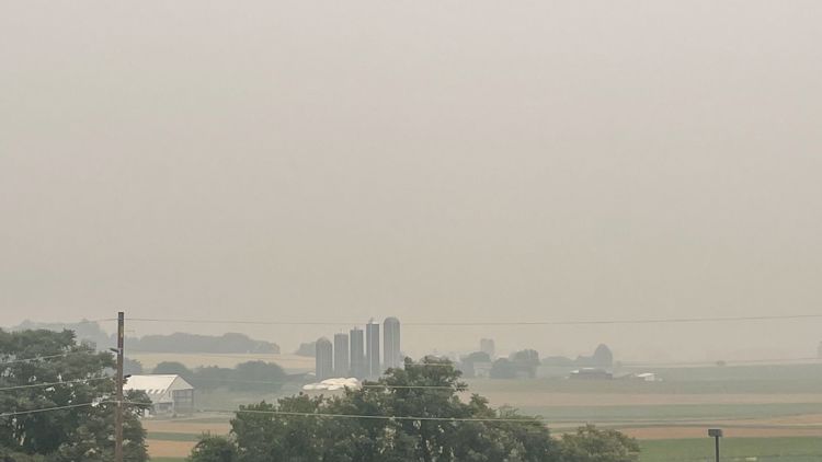
PENNSYLVANIA, USA — The Pennsylvania Department of Environmental Protection downgraded the air quality forecast to a code orange on Friday after two straight days of code red, as hazardous smoke from the ongoing wildfires in Eastern Canada lingers in Pennsylvania.
Environmental experts say the unhealthy air quality levels have not been this high in two decades.
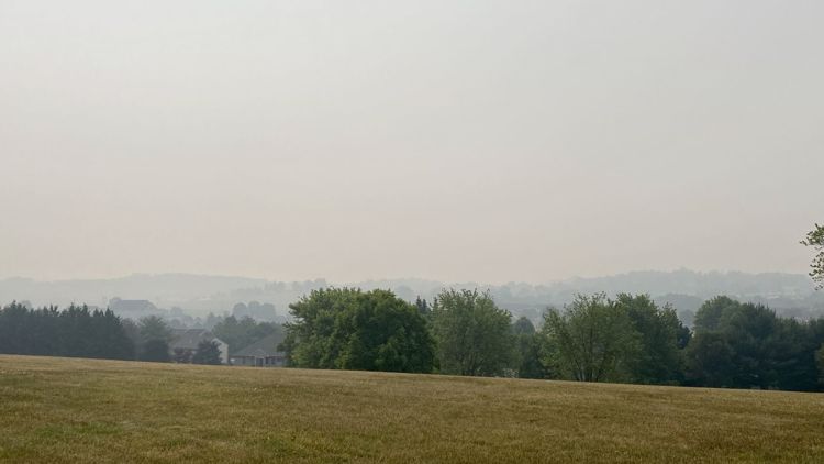
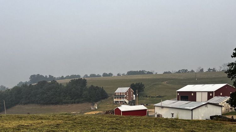
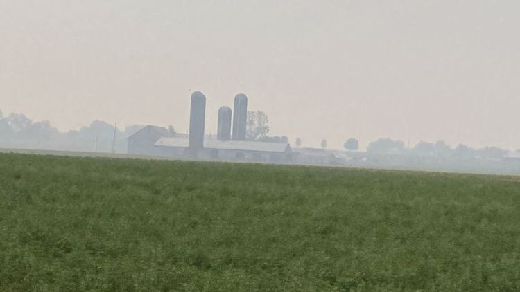
Additionally, The National Weather Service says the smoke and haze of the Canadian wildfires are impacting visibility across the Commonwealth.
This has left residents of Pennsylvania wondering how long the smoke will last.
Here's what we know.
What is a smoke plume?
A plume is defined by the Lawrence Hall of Science as a column of liquid, gas or dust moving through another. This could range from something as small as smoke coming from a chimney, to a smokestack at a powerplant or even wildfire smoke drifting from one area to the next.
Of course, a smoke plume is one that is primarily comprised of smoke from a fire.
How does a smoke plume spread?
The plume "disperses" when the edges of the plume mix with surrounding air, and the farther away from the source the plume gets, the less concentration it should carry.
Buoyancy, a force generated by a difference in density, determines how much the plume will rise and spread in the atmosphere. For example, when something is lighter, it will "float" on top of something that is thicker and heavier.
Atmospheric stability, which is the resistance of the atmosphere to mixing, determines how much upward and downward mixing of a plume will occur in the atmosphere.
Each of these factors plays a role in how a smoke plume would spread.
How long will the wildfire smoke last in Central Pa.?
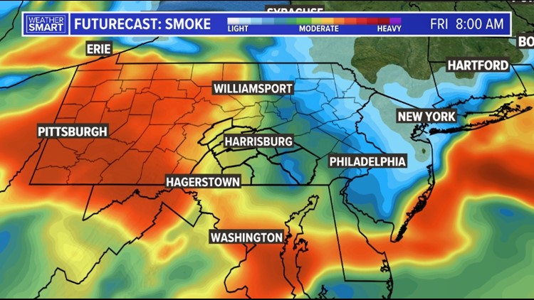
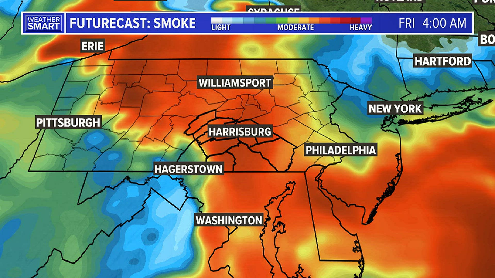
With the weather pattern holding stagnant through Friday, the smoky blanket billowing from wildfires in Quebec and Nova Scotia and sending plumes of fine particulate matter as far away as North Carolina and northern Europe should persist through the end of the work week.
Below is a Futurecast video of the smoke plume through our area:
The weather system that's driving the great Canadian-American smoke out — a low-pressure system over Maine and Nova Scotia — "will probably be hanging around at least for the next few days,” U.S. National Weather Service meteorologist Bryan Ramsey said.
However, this area of low pressure will start to move late Friday, which will shift our winds for the weekend. Rather than a northerly flow, southwesterly winds will help to clear skies of the smoke and increase temperatures across South Central Pa. starting Saturday.
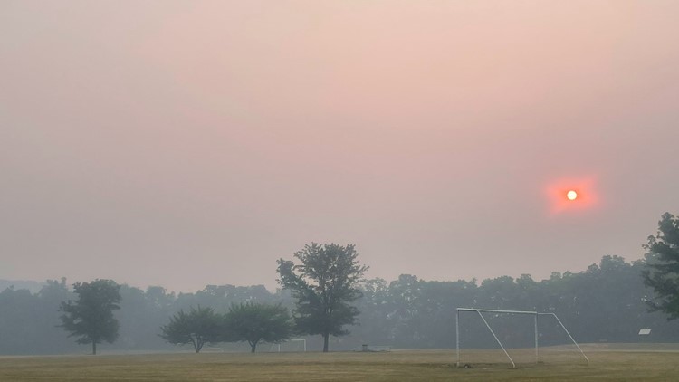
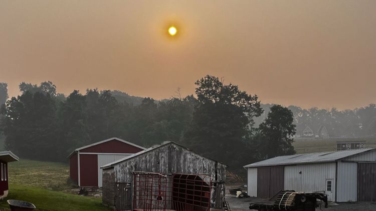
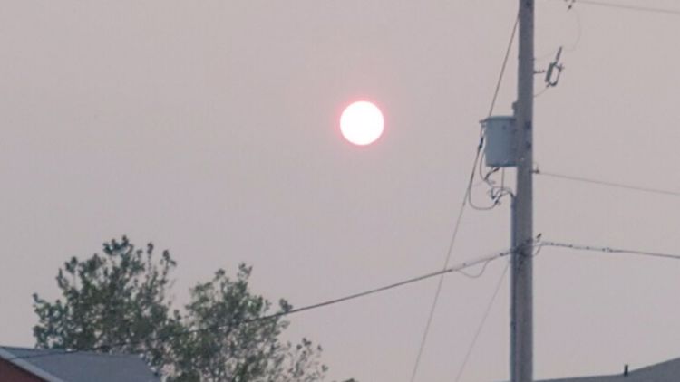
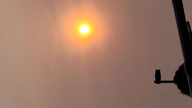
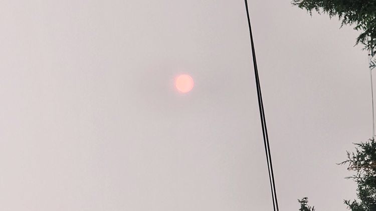
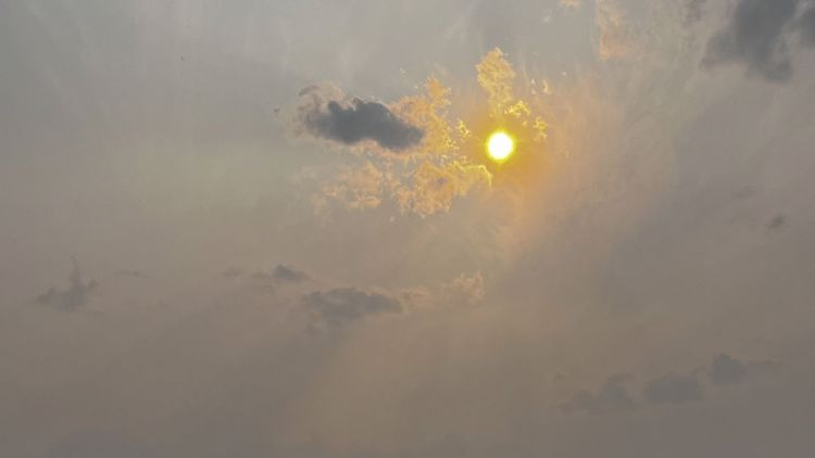
Here's what the wildfire smoke looks like across our area:


