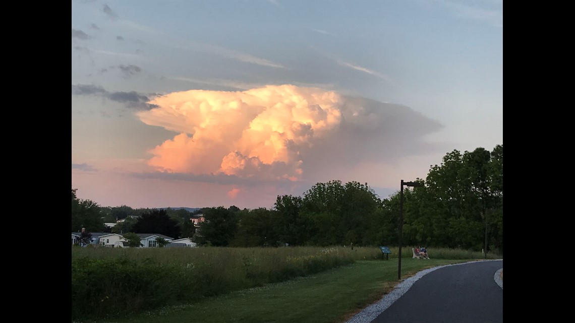
You've heard me say it just about every day for the first part of June -- popcorn thunderstorms.
Honestly, these types of days are pretty easy to forecast. They're also less stressful than most. Because of the random nature of popcorn, or pop-up, thunderstorms, I get to say, "I don't know where they're going to happen in our area, but they will!"
Very common for June through August in South-Central Pennsylvania, pop-up storms are technically known as pulse thunderstorms. They are short-lived, usually strong (but not severe) small storms. They're the kind of storms that the neighborhood next to you will see, but you won't.


Storms like these develop based off of pure heat and humidity, which is why they're most common during the summer. It's the still days, where winds high in the atmosphere are light and there's no real source of organized thunderstorm activity nearby, that we get these strong storms. The light winds higher up means there's less shear, which could tear these more isolated storms apart.
We call them pulse, pop-up and popcorn storms for a very simple reason: they pop-up very quickly, use up their energy usually in less than 30 minutes (though up to an hour) and dissipate.


Because of the conditions in which they form (less wind shear), the air mixes less in these storms and they aren't pushed in one direction or another and simply attempt to follow the fuel (in this case, precipitable water). It also means that, as the storm is relatively small and isolated, the anatomy of the storm itself is what will cause it to fail.
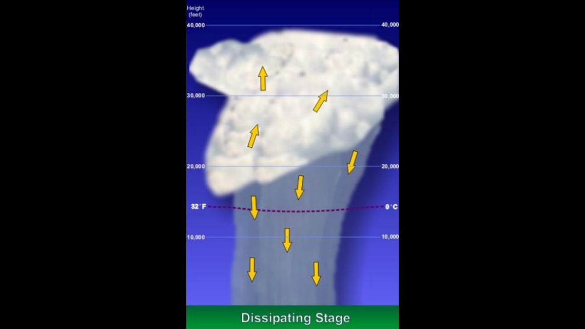
Thunderstorms, at their most basic level, have two very important characteristics: an updraft and a downdraft. The updraft takes in the energy up into the storm, the downdraft gets rid of it in the form of rain, hail and wind. Usually, wind shear helps separate these two columns of air, so that they don't mix.


If they do, the downdraft will eventually weaken the updraft and kill the thunderstorm. That's essentially why popcorn thunderstorms don't last very long.
These storms still certainly pack a punch. They can reach severe levels, though not usually. 50+MPH winds, heavy rain and localized flash flooding are common.
Also, popcorn thunderstorms breed popcorn thunderstorms. The winds from the downdraft often act as a boundary (called an outflow boundary) for other storms to develop. Downdraft air is cold and sinks out of the storm. But the surface is much warmer than that cold air, so the downdraft winds act as a source of lift for more storms to develop.


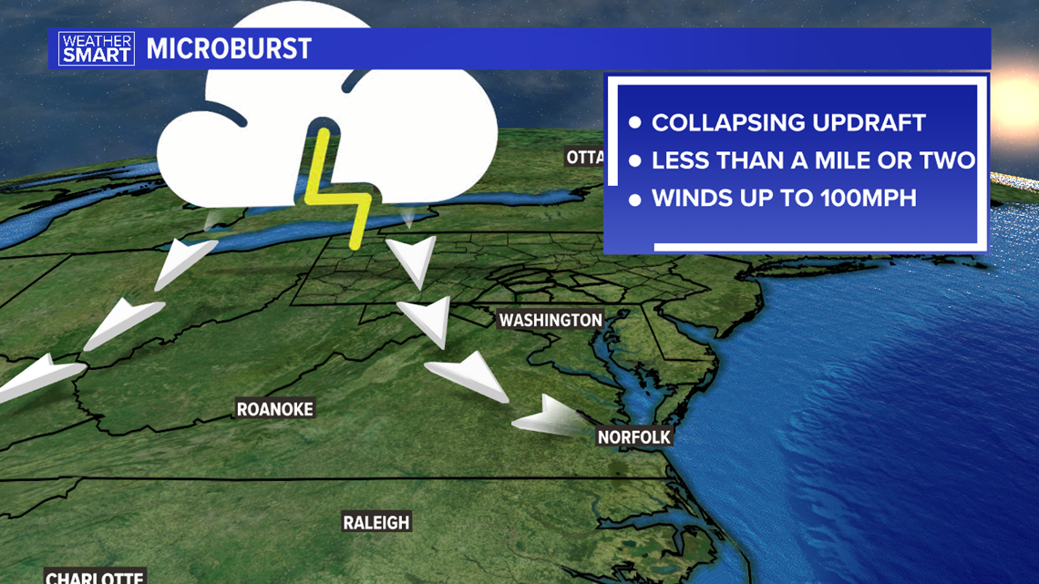
Occasionally these storms bring the risk of a microburst. Microbursts occur as a sudden release of energy (wind) from a dying thunderstorm. An example would be Long's Park in Lancaster earlier this year, where 70+MPH winds took down trees along the Harrisburg Pike area.
Luckily, after a busy week of popcorn thunderstorms, the forecast for next week dries out a bit. But don't worry, this season is just getting started!
You can read more on pulse thunderstorms from the National Weather Service link here.
Until next time,
-Chief Meteorologist Bradon Long


