PENNSYLVANIA, USA — FOX43's Weather Smart Team is tracking Ophelia after making landfall near Emerald Isle in North Carolina with maximum sustained winds of 70 mph Saturday at 6:20 a.m.
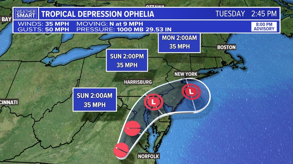
As of the 8 p.m. update from the National Hurricane Center, winds have reduced to 35 mph, with gust speeds near 50 mph. Ophelia is now a Tropical Depression.
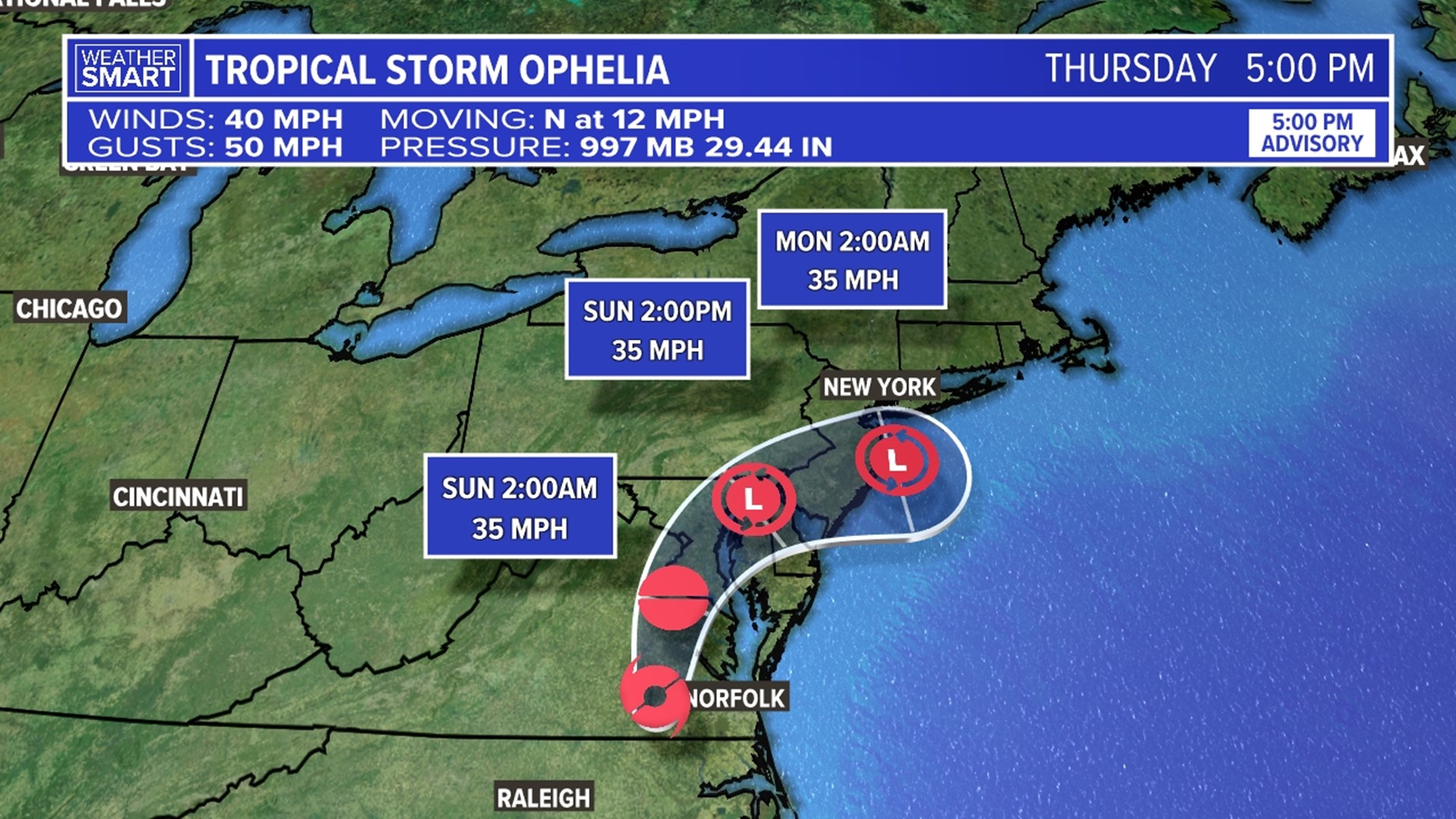
The National Hurricane Center's current forecast has the storm curving northeast as it moves through the Mid-Atlantic as it continues to lose energy.


Tropical Alerts have been discontinued and there are currently no additional watches or warnings in place for central Pennsylvania.
3 feet storm surge remains possible along coastal locations from North Carolina to the New Jersey coastline. Rough surf and rip currents will also remain possible along the eastern coast through the weekend.
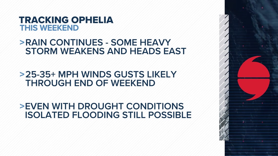
Locally, we are still focused on rainfall amounts and gusty winds as it moves through the rest of the weekend. Scattered showers continue through the overnight and for Sunday. The system looks to lift further northeast come early week, but we still can't rule out some lingering rain and cloud cover.
Although many of our counties are dealing with drought concerns, widespread rainfall amounts of up to 1-2" may lead to localized ponding. Isolated places could see as much as 3" of rain too. Wind gusts will range between 25 and 30 mph through the rest of the weekend.


Stay Weather Smart with FOX43 on air and on our website through the weekend for updates!

