HARRISBURG, Pa. — The high heat and humidity continue to affect South Central Pennsylvania through the end of the work week and into the weekend. Temperatures peaked Wednesday afternoon in the low 90s, starting off the latest heat wave of the year.
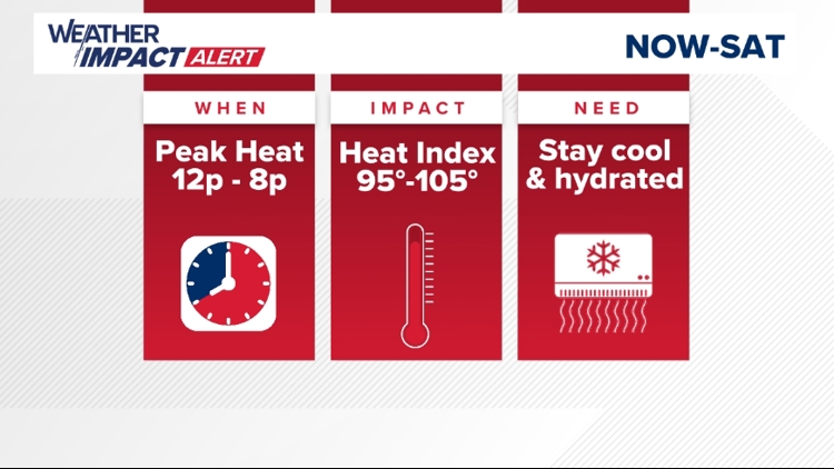
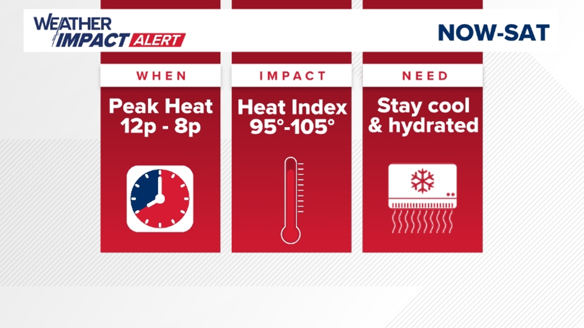
Thursday features even higher temperatures with highs climbing into the low and mid 90s. When you combine the temperature with the high humidity, the heat index will range between 100 and 105 degrees. Friday is a similar day with highs in the low to mid-90s and higher heat index numbers.
Because of the extreme heat, the National Weather Service has issued a HEAT ADVISORY for most of South Central Pennsylvania starting at noon Thursday through 8 pm Friday.

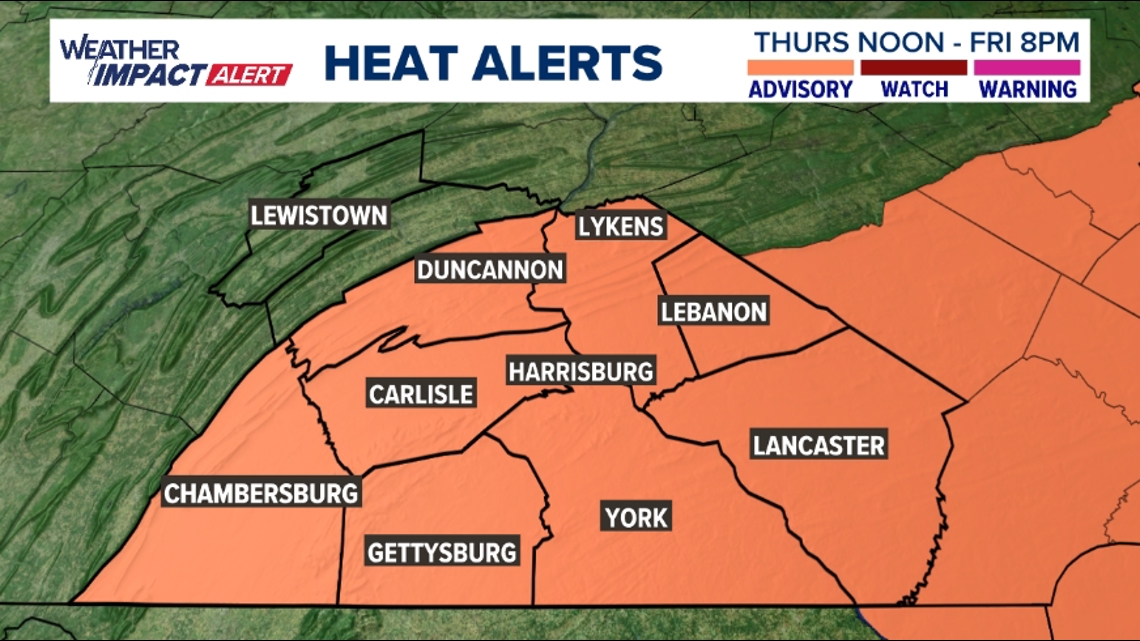
Mifflin and Juniata Counties are not included in the advisory, as their heat index values will fall just shy of the 100-degree mark.
Thursday and Friday will both feature pop-up storm chances as well, giving some relief to isolated areas.
Weather Impact Alert Days will continue through Saturday as this latest heat wave continues. Temperatures Saturday will likely peak right around the 90-degree mark, falling a bit lower than Thursday and Friday due to increased clouds and scattered storms with an incoming cold front.

The heat wave will finally break on Sunday with highs in the upper 80s. Temperatures will stay on either side of the 90-degree mark into next week.
To see your full forecast, click here.