HARRISBURG, Pa. — It’s time for another Weather Rewind, where we look back at this week’s most impressive weather!
This week, wildfire smoke returned from eastern Canada.
It brought unhealthy pollutants from the Great Lakes to the Northeast, and even down here in the Mid-Atlantic.
LET’S REWIND
The familiar hazy sight from a few weeks ago reappeared in central Pennsylvania this week.
A north wind directed wildfire smoke from eastern Canada into our area on Wednesday, prompting a Code Red Air Quality Alert.
The hazy view continued into Thursday, and the Code Red air quality alert did as well.
You probably noticed it created low visibility for both Thursday and Friday morning travels. This is because overnight, the smoke was trapped near the ground, creating that yucky smell in addition to visibility and air quality issues.
But how does the smoke get trapped to create those hazy conditions?
Let’s take a look!
WHAT’S HAPPENING?
Normally, temperature decreases with height.
But sometimes at night, air near the surface cools faster than the air directly above it.
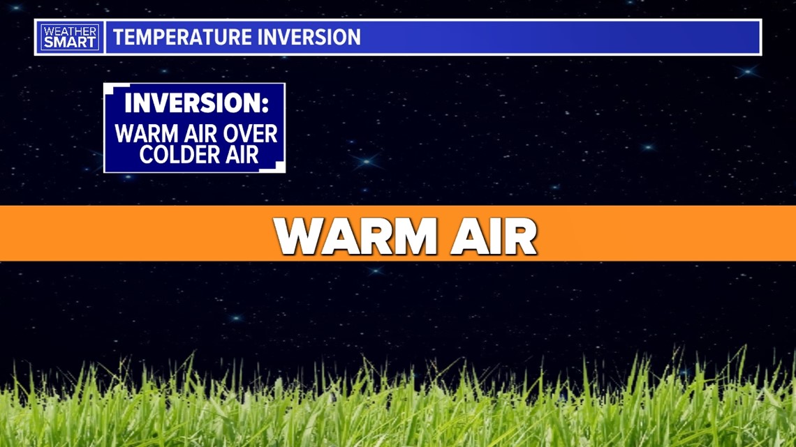
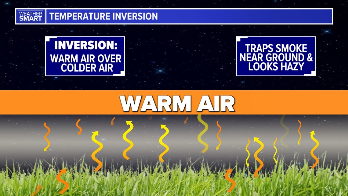
This creates an inversion—where warm air sits on top of cold air.


This creates stability in the atmosphere, so every time the air tries to rise, it sinks back down to the ground.
This is because cooler air is denser than warmer air.
That keeps the smoke trapped near the ground and unable to escape higher into the atmosphere.


Once temperatures warm enough after sunrise, surface temperatures warm, and that eliminates the inversion.
This lets the wildfire smoke finally thin out and escape from the low levels of the atmosphere.
Stay tuned for the “why” behind the weather wonders that capture our attention from week to week.

