
STAYING DRY THROUGH THE WEEKEND

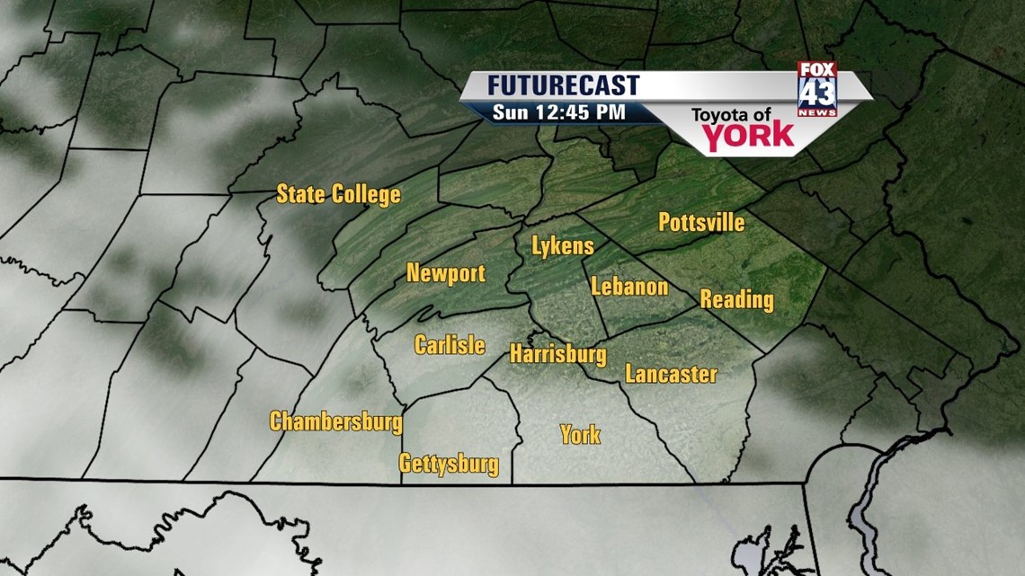
A weak area of high pressure is keeping us dry, and it chases away the clouds into the evening. Skies stay clear overnight. It’s a chilly night with lows dropping into the middle 20s. Sunday brings plenty of sun to start, but a developing system approaches from the southwest, increasing clouds throughout the afternoon hours. Highs reach the lower to middle 40s for most.
YES, SNOW AGAIN
There is yet another chance for snow Sunday Night into Monday as low pressure out to the west heads our way. This complex system weakens as it approaches, but a developing area of low pressure off the coast is the wild card here. If it tracks closer to the coast, it means more snow for us, but if it pulls away, we’ll see less across the Susquehanna Valley. It’s the difference between minor to light accumulations across the area or a bit more. At this point in time, it looks on average like a coating to three inches, with some 4 inch readings possible in some spots, mainly to the southwest. This is subject to change as more (and hopefully better) information becomes available.
STAYING BELOW AVERAGE
In the wake of the storm, temperatures stay below average and cool for this time in March. Clouds stick around Tuesday and Wednesday, with some snow showers or sprinkles possible. Some more sunshine works in for Thursday and Friday, but showers return Saturday. Temperatures slowly rise through the 40s, with temperatures near 50 degrees by the weekend.
Enjoy the rest of your weekend!
-Andrea Michaels