

CHANGES COMING

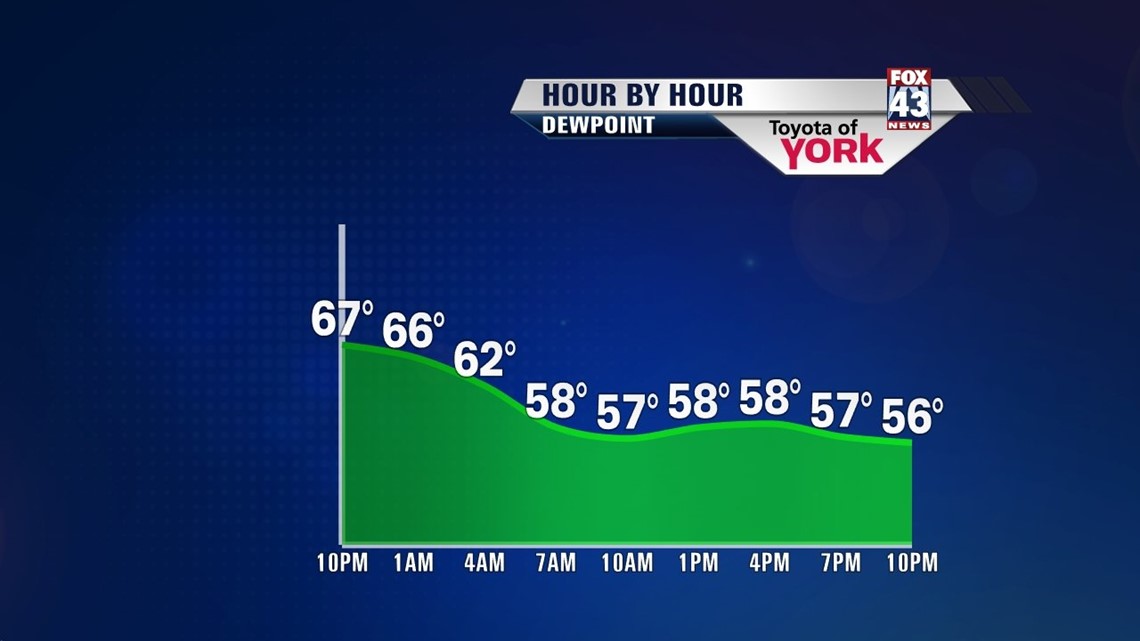
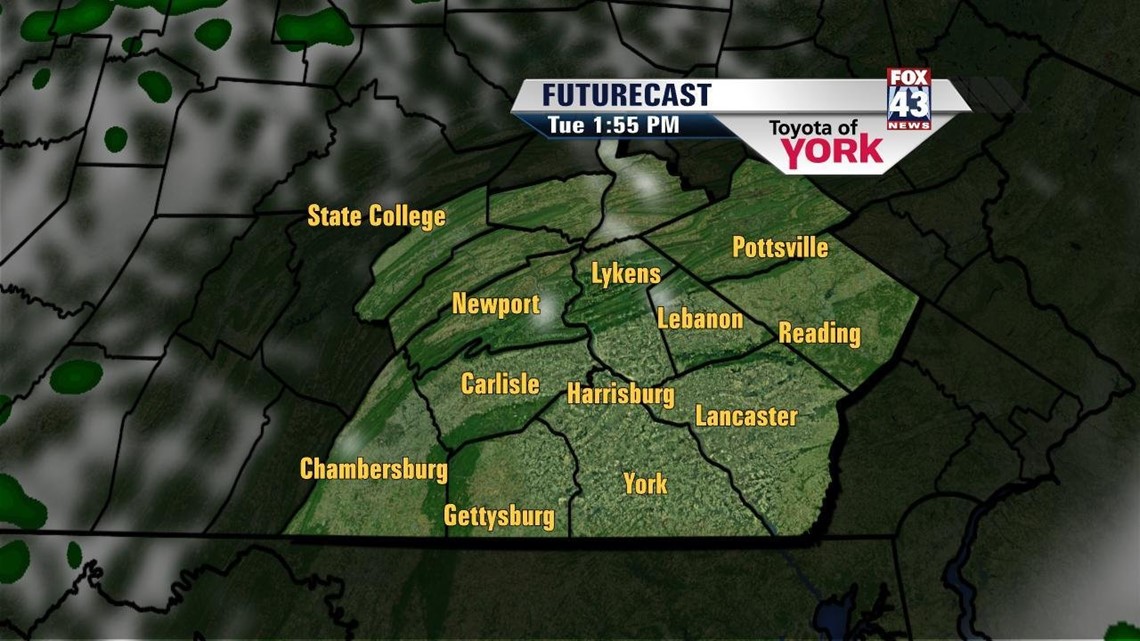
A cold front out to our west continues to slide closer to the Lower Susquehanna River Valley. This is bubbling up some spotty storms across the region this afternoon, and the threat continues through evening. A few storms could be on the stronger side, with gusty winds, frequent lightning, and locally heavy downpours being the main threats. Otherwise, as we move through the night, it’s a slow drying trend. It remains muggy for most of the night, with lows dropping off into the middle to upper 60s as the front passes. Then some changes begin entering the picture.
COOLING DOWN
The cold front quickly drops humidity levels Tuesday morning. Sunshine returns to the region, and as some cooler air aloft rushes in during the afternoon, some clouds bubble up too. It’s a bit breezy, but still pleasant with highs in the middle to upper 70s. Wednesday temperatures are a touch warmer with plenty of sunshine.
STAYING COMFY
Thursday another cold front slips through, but it passes unnoticed. This means we won’t see any rainfall. But we will notice another cool shot of air into Friday. Highs drop from near 80 degrees on Thursday into the middle to upper 70s once again Friday. Temperatures slowly moderate through the weekend into the 80s. A small shower and thunderstorm chance enters the picture again by Sunday and Monday.
Have a great night!
-Andrea Michaels