
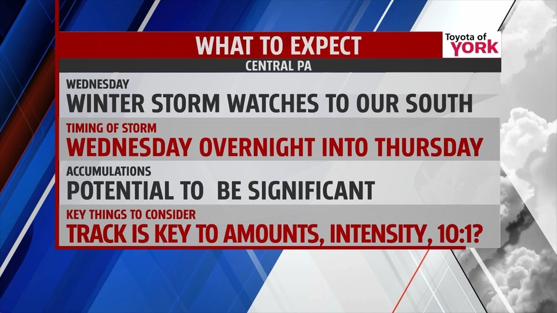
OVERVIEW: High pressure keeps the weather quiet and sunny and temperatures unseasonably cold for a few days. An east coast storm is likely to affect us Wednesday into Thursday and needs to be watched very closely. It looks as if it could bring significant snow to the area.
TONIGHT: Mostly clear skies right now will allow temperatures to drop fast. Lows expected in the single digits with a light breeze.

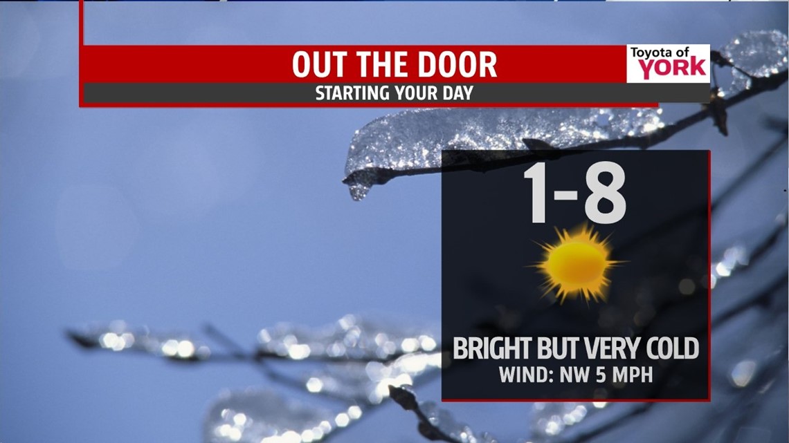
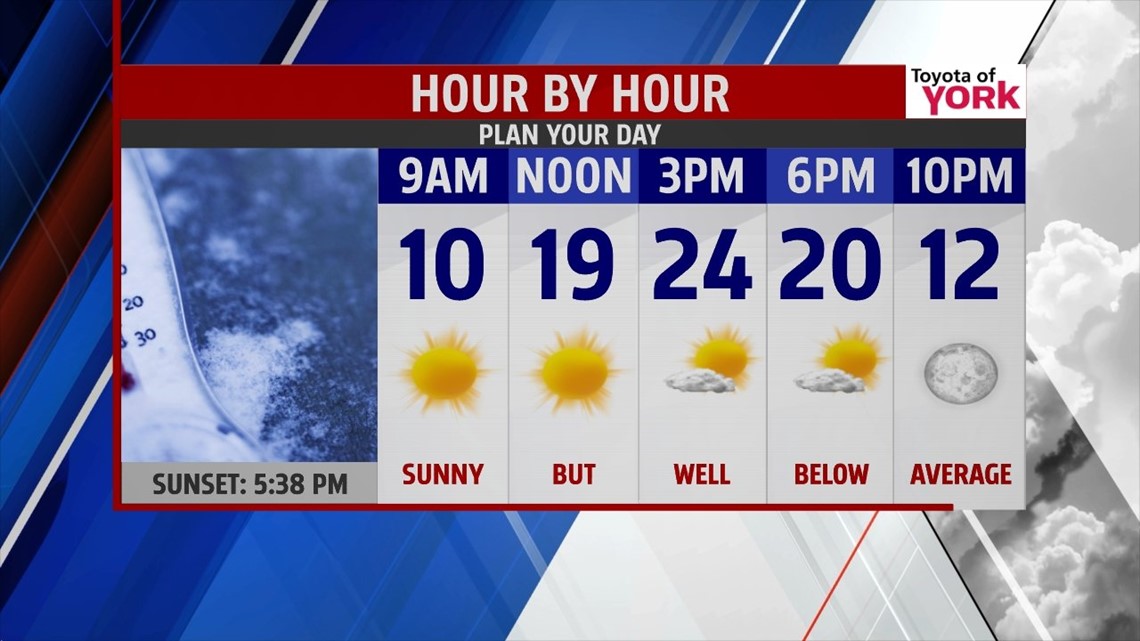
TOMORROW: Plenty of sunshine but temperatures rebound only to the low to mid 20s which is well below the average for this time of the year. Skies remain clear tomorrow night leading to the coldest night of the week and lows near zero by Wednesday morning.

WEDNESDAY: Coldest morning of the week expected with lows in near zero. Sunshine to start but the clouds will increase as the next storm system approaches. Highs will still be well below average in the low to mid 20s.
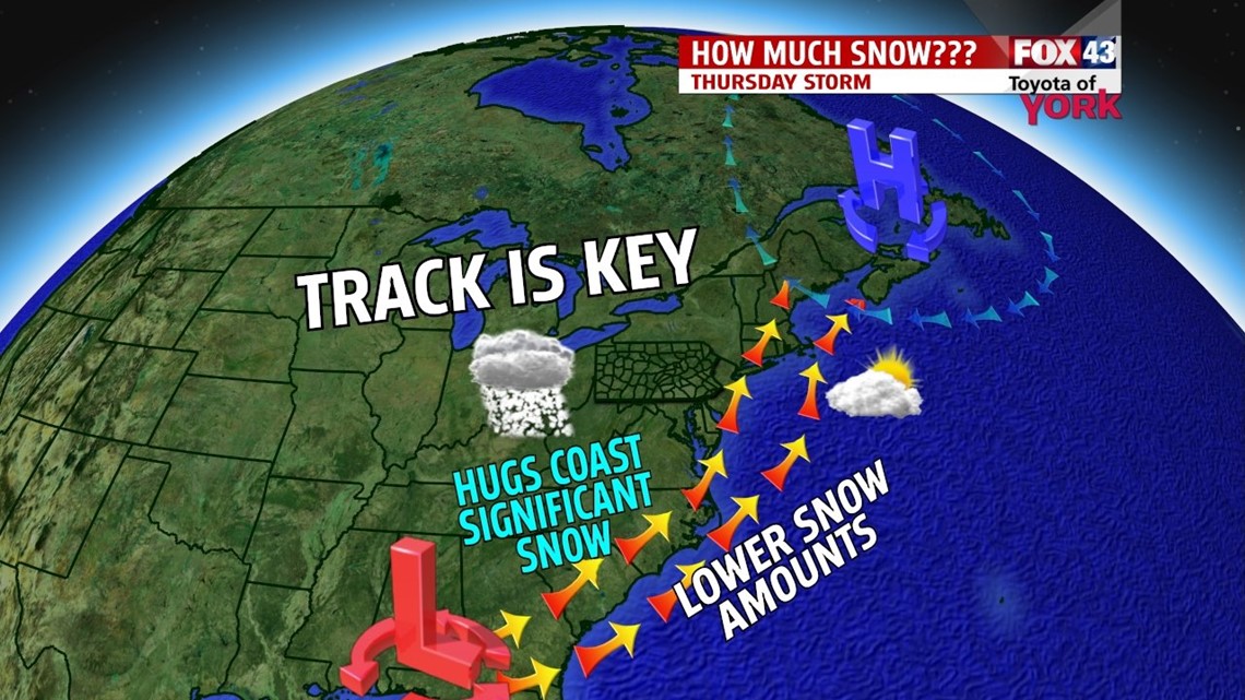
OUR NEXT STORM: We are watching the next storm which models are depicting arrives Wednesday night into Thursday. This is looking more like a major storm for us and we’ll be watching it closely bringing you the latest. Expect there to be accumulating snows for the area but how much is still in question. Track of the low will be key in determining how much we get. Also, how rapidly the storm intensifies and if snow ratio is higher than 10 to 1, will also determine the amounts of snow we get.


MaryEllen Pann, Chief Meteorologist
Like me on Facebook: maryellenpannfox43
Follow me on Twitter: @MaryEllenFox43