
OVERVIEW: Our quiet pattern continues as well as the cooler than average temperatures thanks to high pressure in control of our weather. Our next front pushes eastward for the weekend but will help to moderate temperatures. The front will drop south Saturday night into Sunday bringing with it a small chance for rain and snow showers. We are dry with seasonable temperatures early next week.
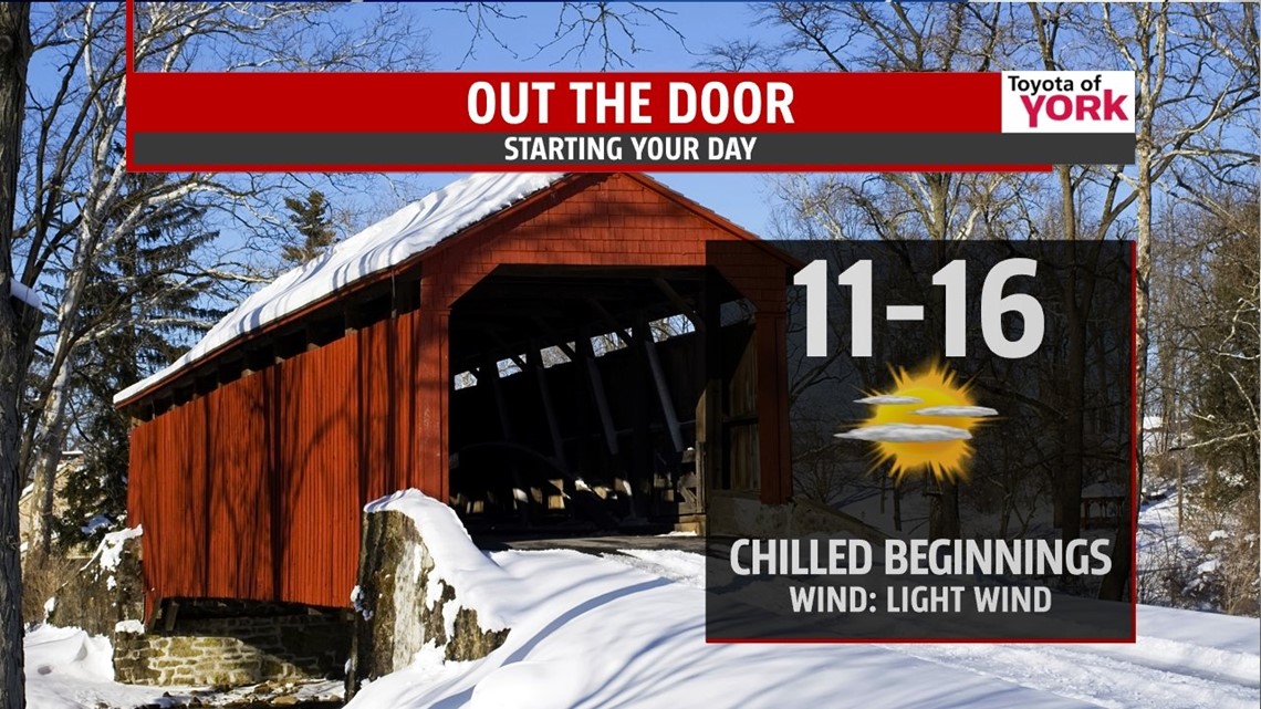
CONTINUED COLD: It will be another frigid night with well below average temperatures. Lows will drop to the low to mid teens under partly cloudy skies.

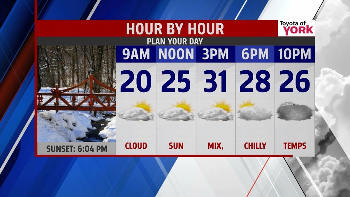
THURSDAY: An easterly flow sets up as high pressure moves over New England. This will pull in some moisture off the Atlantic keeping a mix of clouds and sunshine around for the day. This means temps will be a bit cooler than today but milder air is just around the corner.

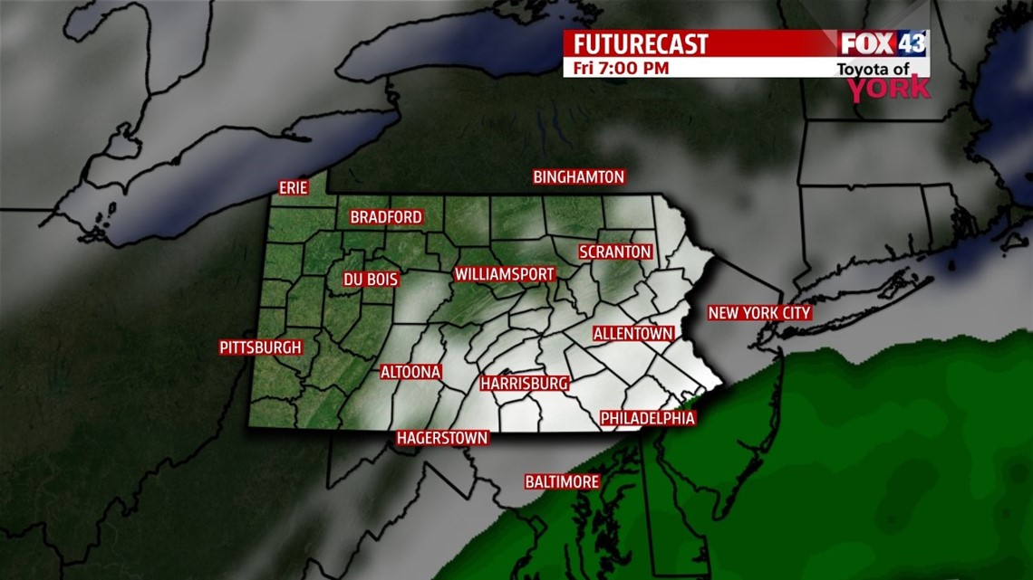
CLOSE CALL: There will be a system moving through the Carolina’s Thursday night into Friday. The moisture will come close but remain south of the area. However, we will be dealing with the cloud cover and that may keep temps in the upper 30s to near 40. Going into the weekend, the next cold front approaches late Friday and the flow out ahead of it will moderate our temperatures. The front doesn’t push through the area until late Saturday into Sunday, so we will see even milder temperatures to start the weekend in the upper 40s to near 50. With the front dropping south Sunday, it may trigger scattered rain and snow showers, plus, it will cool down temperatures just a bit. However, we should still manage the low 40s for highs.

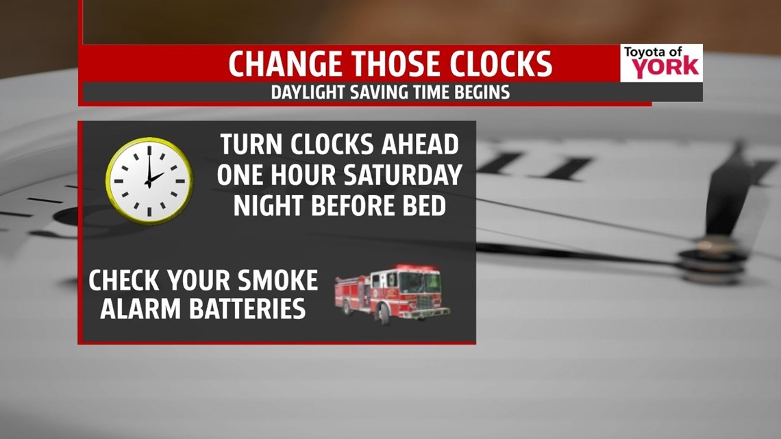
DAYLIGHT SAVING TIME TO BEGIN: March 9th we lose an hour of sleep as we spring ahead an hour Saturday night before going to bed but sunset will take place after 7pm!!! It’s also a good time to check and change the batteries in your carbon monoxide and smoke detectors.

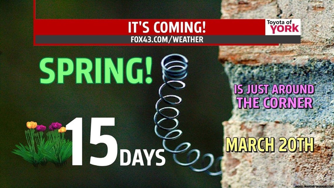
SPRING JUST AROUND THE CORNER: We only have to wait 15 more days for the Spring Solstice! Days have been getting longer since the Winter Solstice and they continue to do so. Now the sun will set later and later. With the higher sun angle, temperatures will be warming quicker too. Let’s hope for no more snow storms.

EARLY NEXT WEEK: We are looking to see temperatures get to the 40s again Monday and Tuesday with dry conditions. The winds shift more southwesterly on Tuesday so we could see highs hitting 50 degrees or better.
MaryEllen Pann, Chief Meteorologist
Like me on Facebook: maryellenpannfox43
Follow me on Twitter: @MaryEllenFox43