
OVERVIEW: Storm system moves in this evening bringing wet weather but the showers will be out of here around midnight. Our next fast moving front comes in tomorrow afternoon and may trigger a few showers; otherwise, it will be a dry weekend with Sunday seeing the most sunshine. Upper level low cuts off and keeps clouds and showers around for several days next week.
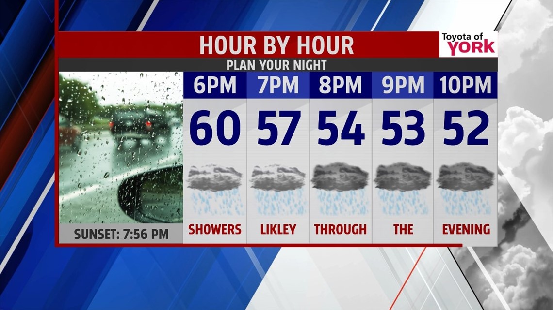
THIS EVENING: Showers are spreading in from the west and will dampen our Friday evening plans. Temps will fall out of the 60’s rather quickly into the 50s.

OVERNIGHT: Showers move out around midnight, skies will slowly clear. Lows won’t be as cool in the low to mid 40s.
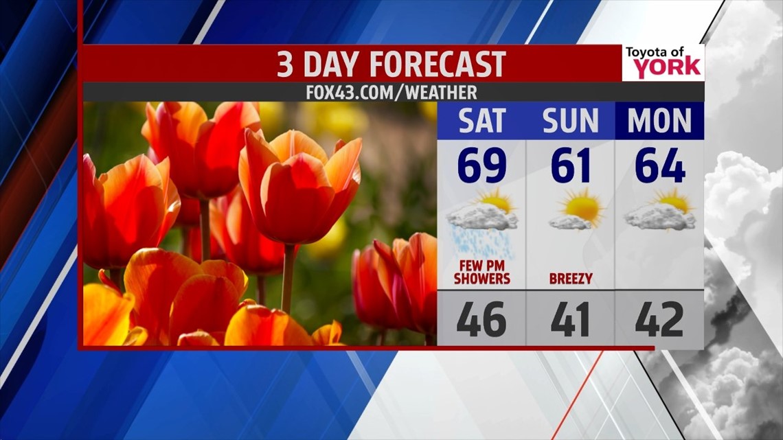
WEEKEND OUTLOOK: We’ll see sunshine to start the day tomorrow before clouds stream in with the next front. Not expecting a lot of moisture with the next system but can’t rule out a few isolated showers. Temperatures will be milder in the mid to upper 60s. Sunday high pressure builds in and brings cooler but dry end to the weekend. Breeze may pick up some and highs will top out in the upper 50’s to low 60’s.

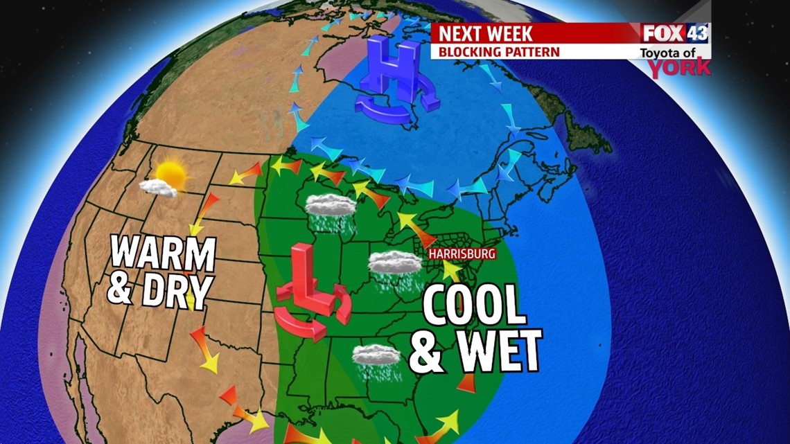
UNSETTLED WEEK AHEAD: We are looking to start the week dry but heading into Tuesday and for much of the week, we will be under a blanket of clouds and showers will threaten each day because of an upper level low that becomes cutoff to our west. It will be very slow to move out. Temps are tricky at this point but look to be below normal due to the overcast skies and wet weather.

Make it a great day!
MaryEllen Pann, Chief Meteorologist
Like me on Facebook: maryellenpannfox43
Follow me on Twitter: @MaryEllenFox43