

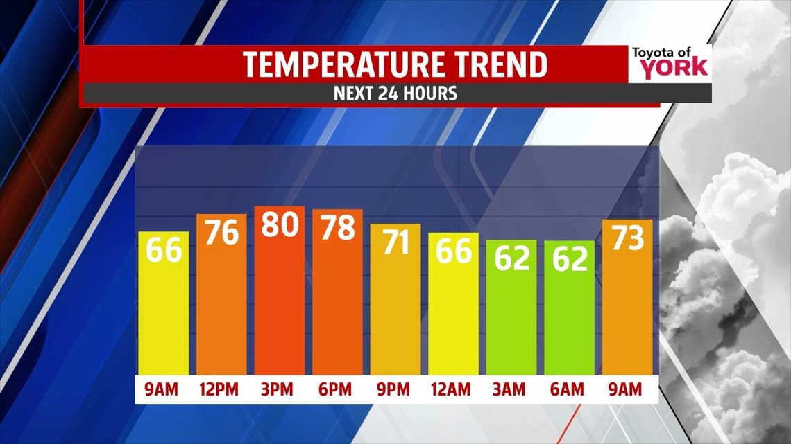
A BIT WARMER, ISOLATED SHOWERS

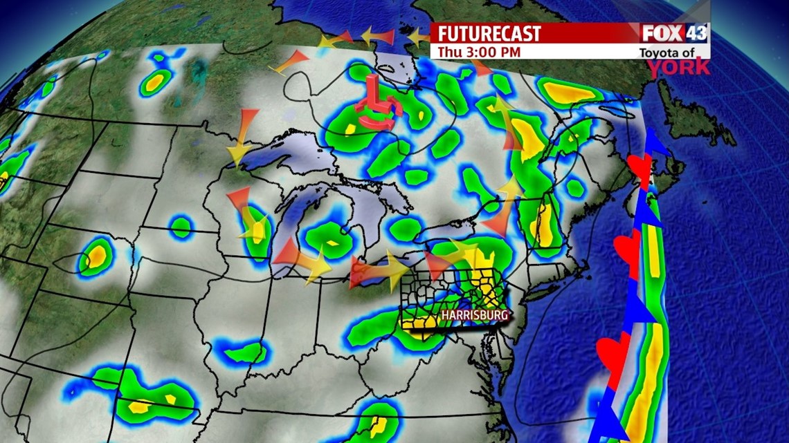
An upper level area of low pressure continues to sit to our north, spiraling in a round of showers here and there while keeping temperatures below average. This setup holds through today, meaning we can expect more of the same. It’s a bit of a milder start across the area this morning, with some clouds and some early passing showers. Skies dry and clear quickly after daybreak, with plenty of sunshine by midday. The afternoon is dry to start with plenty of sunshine. Some clouds being to build during the afternoon, with some spotty showers possible to the northwest by mid to late afternoon. An isolated shower chance continues for everyone through the early evening. It’s not going to be a washout, and most will see plenty of dry time. Highs are in the upper 70s to lower 80s to close the month of July.
SHOWER CHANCES INCREASE

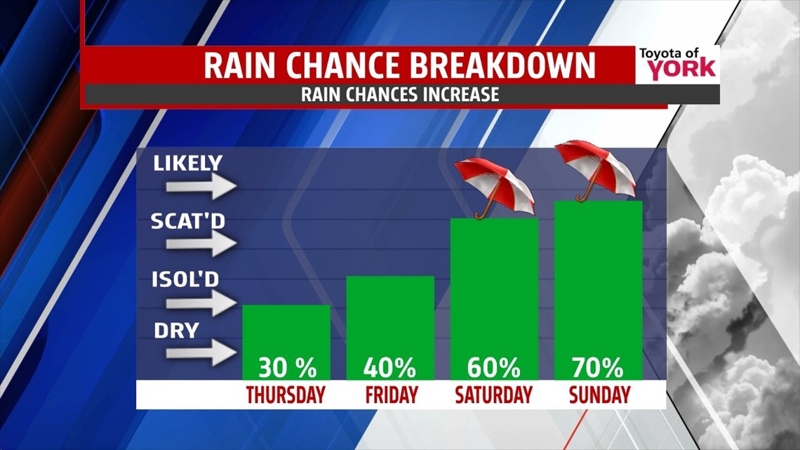
August begins on the cooler side, with still a chance for showers on Friday. It’s a bit cloudier and slightly cooler, with highs near 80 degrees. The upper level area of low pressure pulls away by Saturday morning. This allows a stationary front to our east to slowly retrograde west. Due to this, a thunderstorm chance remains for Saturday. The humidity increases a little as well. Highs are in the upper 70s to near 80 degrees. Sunday brings a better chance for showers and thunderstorms, with highs back into the lower 80s.
BACK TO AVERAGES
Monday another cold front swings down from the northwest, and this dissolves the stalled front. We have an isolated shower and thunderstorm chance Monday, but temperatures warm back average. Tuesday and Wednesday bring drier conditions, with temperatures in the middle 80s.
Have a great Thursday!
-Andrea Michaels