OVERNIGHT
Clouds around right now will clear out as a weak area of high pressure builds overhead. Winds will die down a bit too. Lows will drop to the low to mid 40s.


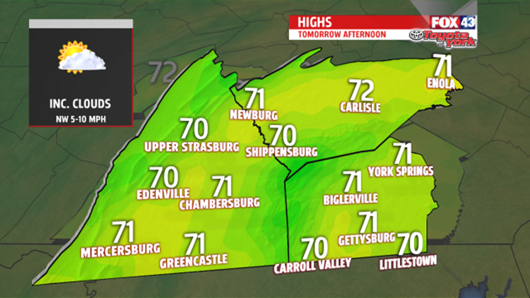
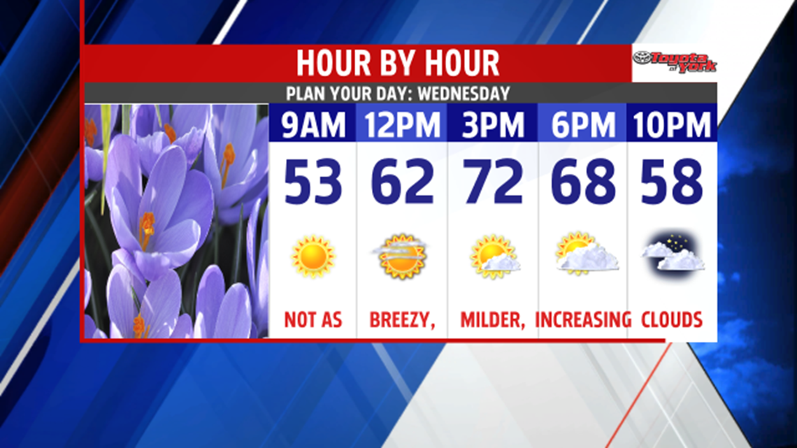
We start out with bright morning sunshine but the clouds will return through the afternoon. A nice breeze out of the west won’t be as strong and highs should hit 70 in many locations. Skies will become overcast overnight keeping temperatures a bit milder in the low 50s.

OUTLOOK
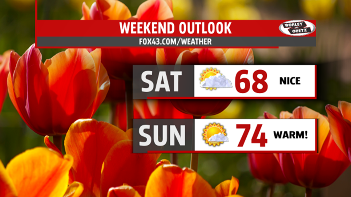
Easterly flow will set up by Thursday morning as an area of low pressure moves up from the southeast coast. Upper level low will dive south from the Great Lakes, both contributing to keeping the clouds around and cooler temperatures. There will be a chance for showers but not a lot of rain expected. Clouds stay with us to end the week along with the threat for showers. Temperatures will be much cooler in the 50’s to near 60. For the two days we could see some areas pick up as much as a .25” of rainfall or less. It will be a slow clearing process through the evening and overnight period as we head into the weekend and the beginning of May. High pressure builds in at the surface. It should remain mostly dry both days. A strong piece of energy will swing through Saturday producing some clouds and maybe a sprinkle but again most of the day remains dry with highs in the upper 60s. Sunday looks terrific with lots of sunshine and much warmer temperatures in the 70s.

We continue warm heading into the first full week of May in the mid to upper 70s Monday. Shower threat returns late on Tuesday as a weak front moves in but temperatures will still warm to the mid 70s.