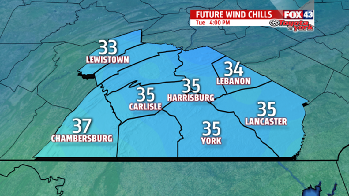
CHILLY & BREEZY: High pressure is to our north, sliding east, and this keeps chilly air in place through the day. The clouds clear early, and the winds ease through the morning. It’s quite the cold start for April, with numbers beginning in the 20s. Wind chill values begin in the teens at times for many. Numbers are in the 30s through the afternoon even though the winds ease. Afternoon highs temperatures are in the lower to middle 40s under plenty of sunshine. It’s another cold night under mainly clear skies. After dropping swiftly during the evening, lows bottom out in the 20s once more. Wednesday is a bit milder with temperatures in the 50s. Expect a mixture of clouds and some sunshine. It’s another breezy day too. Ultimately, the clouds thicken through the afternoon as our next system approaches. Rain showers arrive after midnight Thursday.


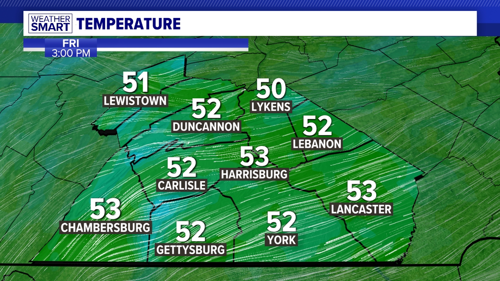
RAIN RETURNS: Our next storm system brings cool and damp conditions on Thursday. Expect plenty of showers, with temperatures in the lower to middle 50s. As cooler air rushes in Thursday night, a few snow showers could mix in close to daybreak. Other than a lingering morning rain or snow shower, Friday is drier and mostly cloudy. Temperatures are in the lower to middle 40s.
MORE CHILL THIS WEEKEND: Another pool of chilly air settles over the region to begin the weekend. Saturday brings plenty of clouds, and perhaps a few drops or flakes. High temperatures are in the upper 30s to lower 40s. Sunday begins to moderate with more sunshine. A mixture of clouds and sunshine is expected for Monday as a warm front approaches. It could bring a stray shower.
Have a great Tuesday!