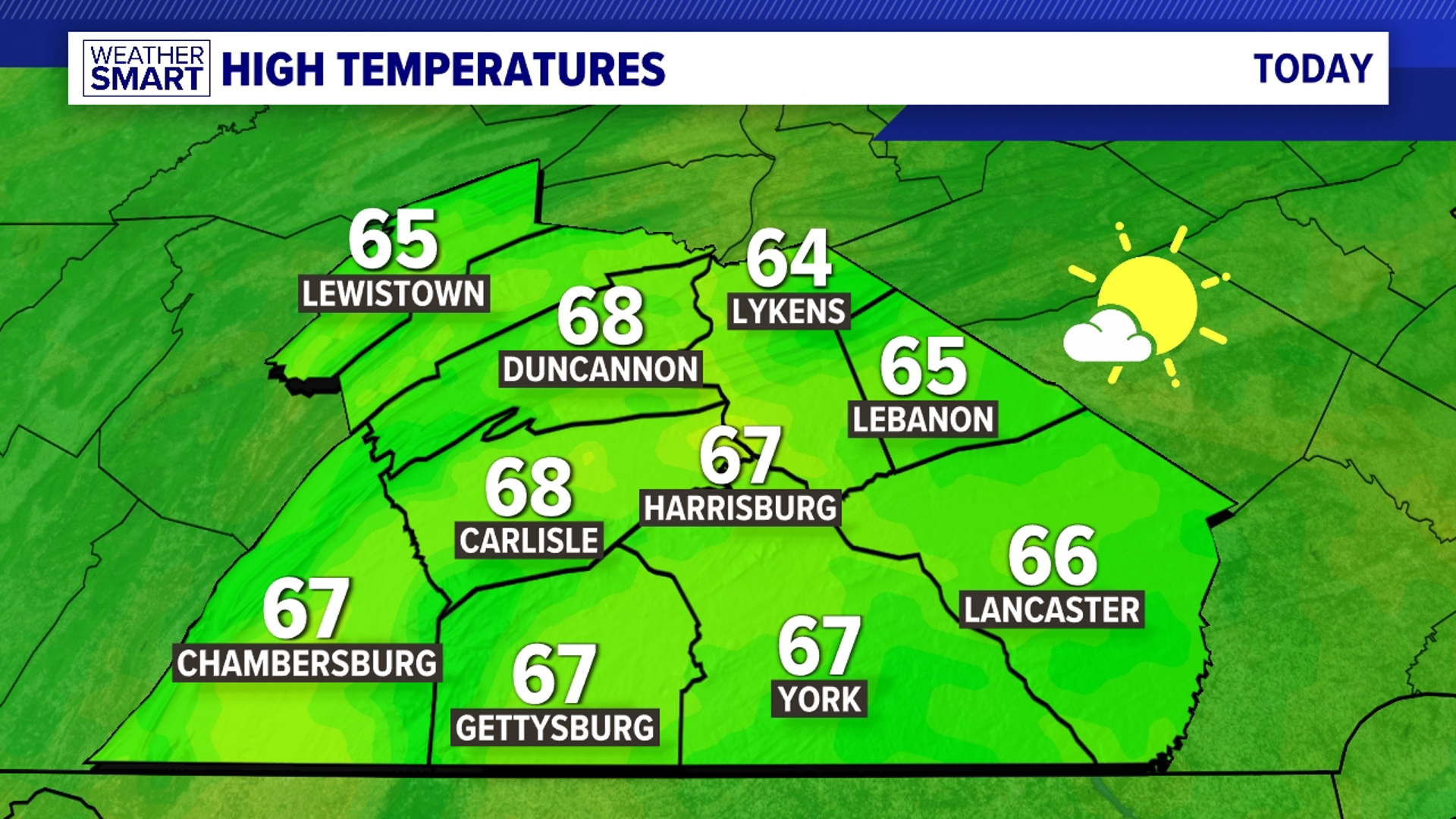
SHOWER CHANCES TODAY: Breezy conditions continue for Friday with spotty showers possible all day long after an early morning snow chance. A FLOOD WARNING continues until 1AM Saturday morning for Dauphin and Lebanon counties along the Swatara Creek, with flooding along driveways and roadways expected.

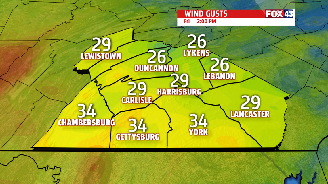
Otherwise, winds gust out of the WNW near 30mph under cloudy skies for most of the day
DRYING FOR THE WEEKEND: Shower chances dissipate for the weekend as the sun comes back out with decreasing winds. After not leaving the 40s Friday, we near 60 for Saturday and 70 for Sunday with increasing sunshine. Winds switch to out of the southwest, ushering in the warmer air and keeping our shower chances limited for most of the week.
TEMPS TAKE A JUMP: We get an early preview for summer starting Monday with temperatures nearing 80 and rising towards the low 80s for Tuesday with abundant sunshine.

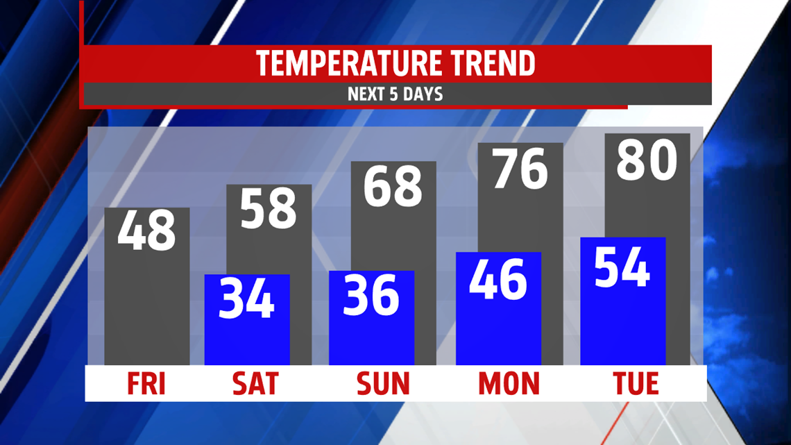
A cold front drops brings a slight shower chance for the evening hours of Tuesday and drops our temperatures for Wednesday and Thursday, though we’ll still take the mid-to-upper 60s with partly cloudy skies. Winds remain light out of the west at 5-10mph.
Have a great day!
-Meteorologist Bradon Long