


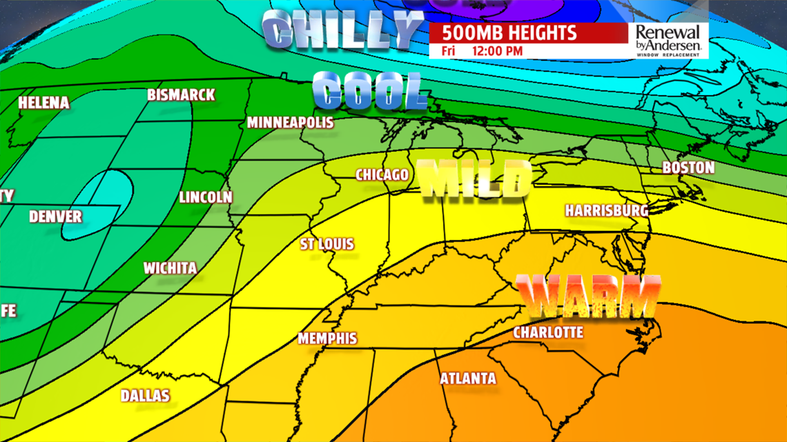
MAJOR WARMING BEGINS: A huge flip in the pattern is ahead for the end of the week, and it will continue into the weekend. Thursday is the transitional day to warmer temperatures. There’s partly sunny skies, and a couple isolated showers are possible. Temperatures reach the lower to middle 60s. The temperatures jump to a late spring feel in time for Friday. There’s plenty of sunshine, and afternoon temperatures reach the middle to upper 70s! It’s a nice change of pace for sure!
WARM WEEKEND OUTLOOK: The warmth doesn’t go away just yet for the weekend. Saturday brings sunshine and some passing clouds. Temperatures remain well above average for this time of year. Readings are back into the middle to upper 70s. Depending on cloud cover, some 80 degree readings are not out of the question. The next cold front is slow to approach on Sunday. There’s likely showers, perhaps some thunderstorms, later during the day. Temperatures are likely cooler due to the clouds and rain chances. Readings reach the upper 60s to lower 70s, so it’s still mild for this time of year. Monday still brings the chance for showers, with the best chance during the morning. Temperatures continue to cool.
Have a great Tuesday!